Transport Functions
Multimodal
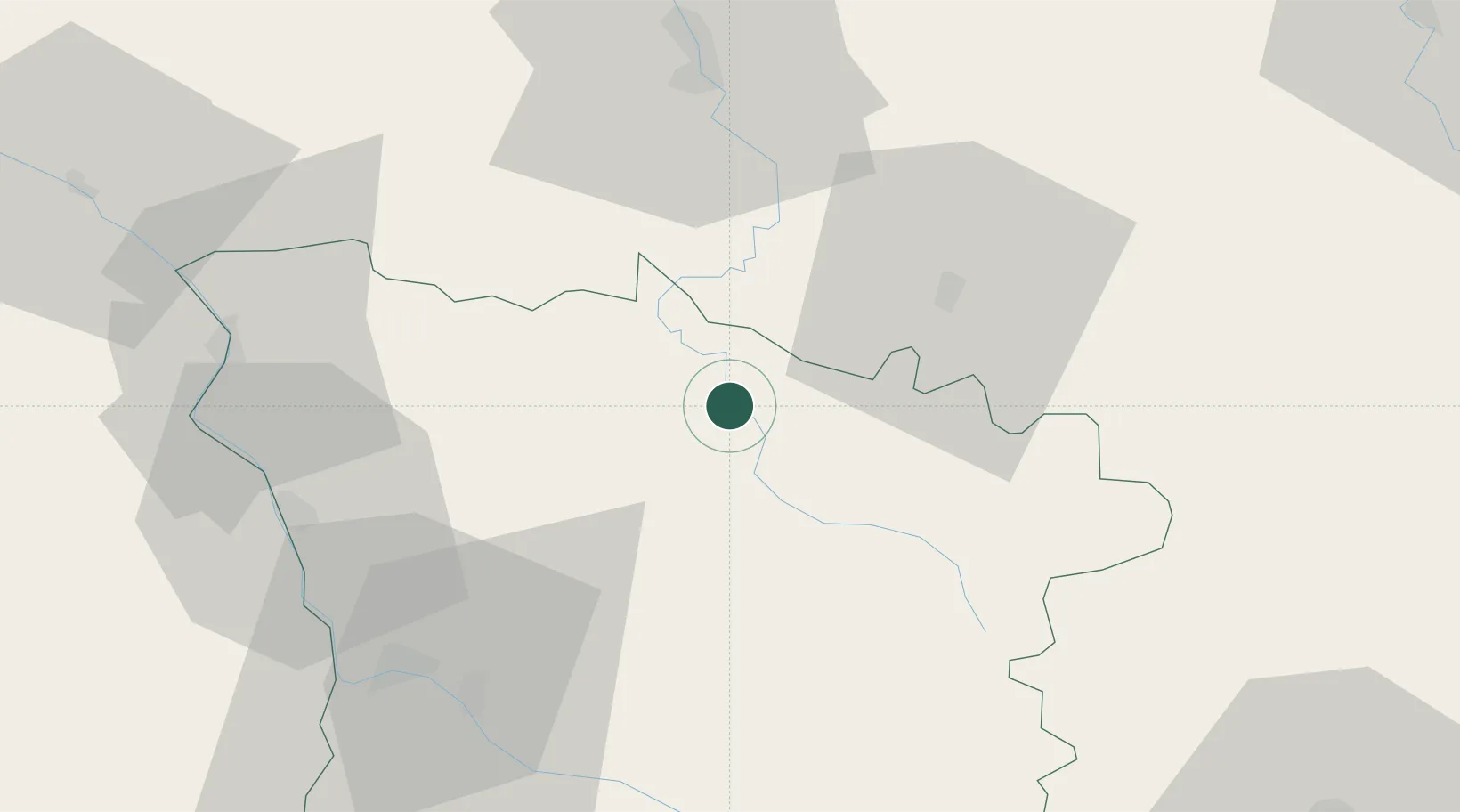
Hub Profile
Place type
Populated place
Region
Bourgogne
Population
143
Time zone
Europe/Paris
Elevation
176 m
Location
Nearby Logistics Neighbours
Cities
- 1Pouilly12 km
- 2Asquins16 km
- 3Saint-Père17 km
- 4Corvol-l'Orgueilleux19 km
- 5Tharoiseau19 km
Ports
- 1Port Of Rouen300 km
- 2Honfleur340 km
- 3Dieppe342 km
- 4Deauville344 km
- 5Le Treport344 km
Airports
- 1Nevers-Fourchambault Airport54 km
- 2Auxerre Branches airport56 km
- 3Avord (BA 702) Air Base81 km
- 4Bourges airport100 km
- 5Saint-Yan Airport108 km
Trade Zones
- 1ZFU Sens98 km
- 2ZFU Bourges102 km
- 3ZFU Chenôve103 km
- 4ZFU La Chapelle Saint-Luc, Les Noës-près-Troyes, Troyes, Sainte-Savine110 km
- 5ZFU Montereau-Fault-Yonne126 km
DatabookThe Record of Consolidated Knowledge
France beyond logistics?