UN/LOCODE hub · France
FRCY3

Chasnay

47.2500°, 3.1833°
135
Population
1
Transport functions

Transport Functions

Multimodal
UN/LOCODE

Hub Profile

Place type
Populated place
GeoNames
Region
Bourgogne
GeoNames
Population
135
GeoNames
Time zone
Europe/Paris
GeoNames
Elevation
214 m
GeoNames

Location

Location of FRCY3
Natural Earth 10m (public domain) · Bourgogne · FRCY3 · 47.25, 3.18GoogleOSMYandex

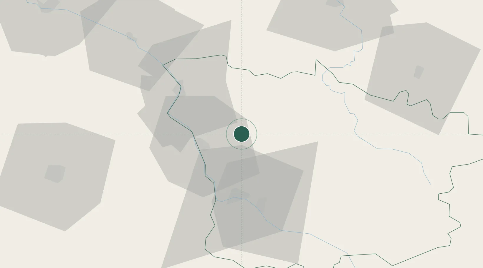
Nearby Logistics Neighbours

Cities
  1. 1Varennes-lès-Narcy9 km
  2. 2Raveau11 km
  3. 3Azay-le-Rideau12 km
  4. 4Saint-Andelain18 km
  5. 5Pouilly-sur-Loire18 km
Nearest neighbours — logibook spatial index (haversine) over the source coordinates
Ports
  1. 1Port Of Rouen290 km
  2. 2Honfleur326 km
  3. 3Deauville329 km
  4. 4Dieppe336 km
  5. 5Port Of Le Havre336 km
Nearest neighbours — logibook spatial index (haversine) over the source coordinates
Airports
  1. 1Nevers-Fourchambault Airport28 km
  2. 2Avord (BA 702) Air Base47 km
  3. 3Bourges airport65 km
  4. 4Auxerre Branches airport71 km
  5. 5Saint-Yan Airport112 km
Nearest neighbours — logibook spatial index (haversine) over the source coordinates
Trade Zones
  1. 1ZFU Bourges67 km
  2. 2ZFU Sens105 km
  3. 3ZFU Orléans122 km
  4. 4ZFU Montereau-Fault-Yonne128 km
  5. 5ZFU La Chapelle Saint-Luc, Les Noës-près-Troyes, Troyes, Sainte-Savine133 km
Nearest neighbours — logibook spatial index (haversine) over the source coordinates
DatabookThe Record of Consolidated Knowledge
France beyond logistics?
Browse databook

All Sources

LocationsUN/LOCODE
UN/LOCODE — free
LocationsGeoNames
CC BY 4.0
Portsthe NGA World Port Index
Public domain (US gov)
AirportsOurAirports
Public domain
Trade Zonesthe World Bank SEZ database
CC BY 4.0
Trade ZonesOpen Zone Map
CC BY
← France locations