Transport Functions
Multimodal
Hub Profile
Place type
Populated place
Region
Pays de la Loire
Population
682
Time zone
Europe/Paris
Elevation
51 m
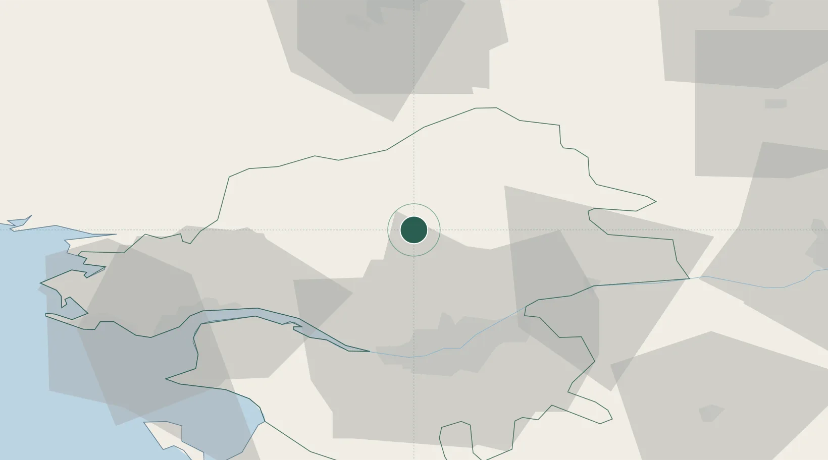
Location
Nearby Logistics Neighbours
Cities
- 1Nozay6 km
- 2Blain11 km
- 3Issé17 km
- 4Fay-de-Bretagne18 km
- 5Petit-Mars19 km
Ports
- 1Nantes35 km
- 2Donges42 km
- 3Montoir46 km
- 4St Nazaire51 km
- 5Les Sables D' Olonne114 km
Airports
Trade Zones
- 1ZFU Nantes et Saint-Herblain33 km
- 2ZFU Saint-Nazaire56 km
- 3ZFU Angers77 km
- 4ZFU Le Mans140 km
- 5ZFU La Rochelle154 km
DatabookThe Record of Consolidated Knowledge
France beyond logistics?