Transport Functions
Multimodal
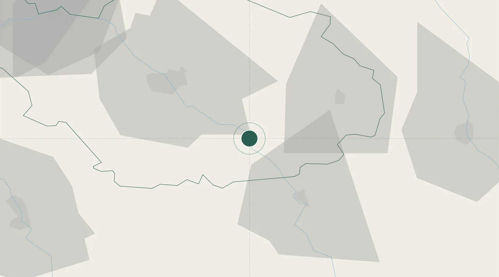
Hub Profile
Place type
Populated place
Region
Grand Est
Population
305
Time zone
Europe/Paris
Elevation
156 m
Location
Nearby Logistics Neighbours
Cities
- 1Bar-sur-Seine2 km
- 2Celles-sur-Ource2 km
- 3Ville-sur-Arce5 km
- 4Buxeuil6 km
- 5Neuville-sur-Seine6 km
Ports
- 1Bruxelles308 km
- 2Ghent333 km
- 3Antwerpen347 km
- 4Nieuwpoort357 km
- 5Bruges358 km
Airports
- 1Troyes-Barberey Airport37 km
- 2Saint-Dizier – Robinson Air Base71 km
- 3Auxerre Branches airport72 km
- 4Chalons Vatry airport76 km
- 5Dijon Longvic airport107 km
Trade Zones
DatabookThe Record of Consolidated Knowledge
France beyond logistics?