Transport Functions
Road
Multimodal
Hub Profile
Place type
Populated place
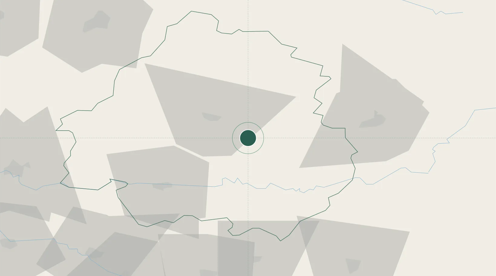
Region
Nouvelle-Aquitaine
Population
231
Time zone
Europe/Paris
Elevation
190 m
Location
Nearby Logistics Neighbours
Cities
- 1Bonneval9 km
- 2Limeyrat11 km
- 3Boulazac15 km
- 4Trélissac15 km
- 5Les Eyzies18 km
Airports
Trade Zones
- 1Port de Bordeaux116 km
- 2ZFU Hauts de Garonne121 km
- 3ZFU Toulouse170 km
- 4ZFU Clermont-Ferrand186 km
- 5ZFU La Rochelle204 km
DatabookThe Record of Consolidated Knowledge
France beyond logistics?