Transport Functions
Multimodal
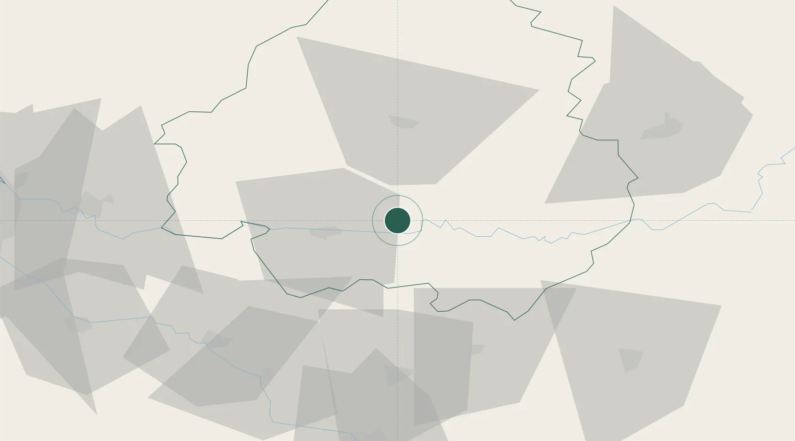
Hub Profile
Place type
Populated place
Region
Nouvelle-Aquitaine
Population
467
Time zone
Europe/Paris
Elevation
143 m
Location
Nearby Logistics Neighbours
Cities
- 1Montpeyroux5 km
- 2Mouleydier10 km
- 3Montagnac-la-Crempse17 km
- 4Conne-de-Labarde17 km
- 5Colombier19 km
Airports
Trade Zones
- 1Port de Bordeaux99 km
- 2ZFU Hauts de Garonne102 km
- 3ZFU Toulouse154 km
- 4ZFU La Rochelle207 km
- 5ZFU Clermont-Ferrand210 km
DatabookThe Record of Consolidated Knowledge
France beyond logistics?