Transport Functions
Multimodal
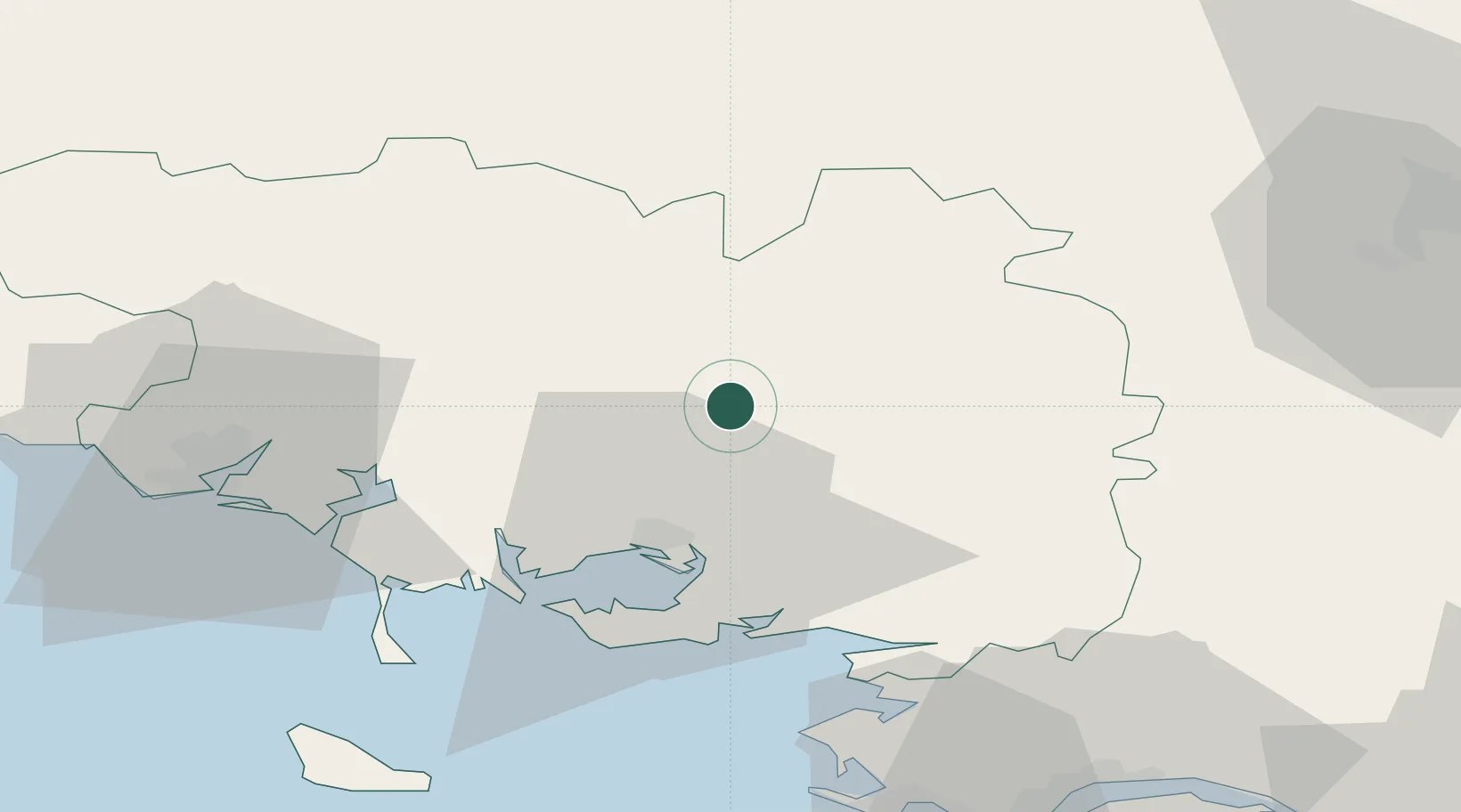
Hub Profile
Place type
Populated place
Region
Brittany
Population
2,553
Time zone
Europe/Paris
Elevation
156 m
Location
Nearby Logistics Neighbours
Cities
- 1Trédion8 km
- 2Le Roc-Saint-André15 km
- 3Treffléan17 km
- 4La Croix-Helléan17 km
- 5La Chapelle18 km
Ports
- 1Lorient53 km
- 2St Nazaire70 km
- 3Montoir71 km
- 4Donges74 km
- 5Le Legue78 km
Airports
Trade Zones
- 1ZFU Saint-Nazaire68 km
- 2ZFU Nantes et Saint-Herblain98 km
- 3ZFU Angers159 km
- 4ZFU Le Mans208 km
- 5ZFU Alençon213 km
DatabookThe Record of Consolidated Knowledge
France beyond logistics?