UN/LOCODE hub · France
FRBBB
Le Roc-Saint-André
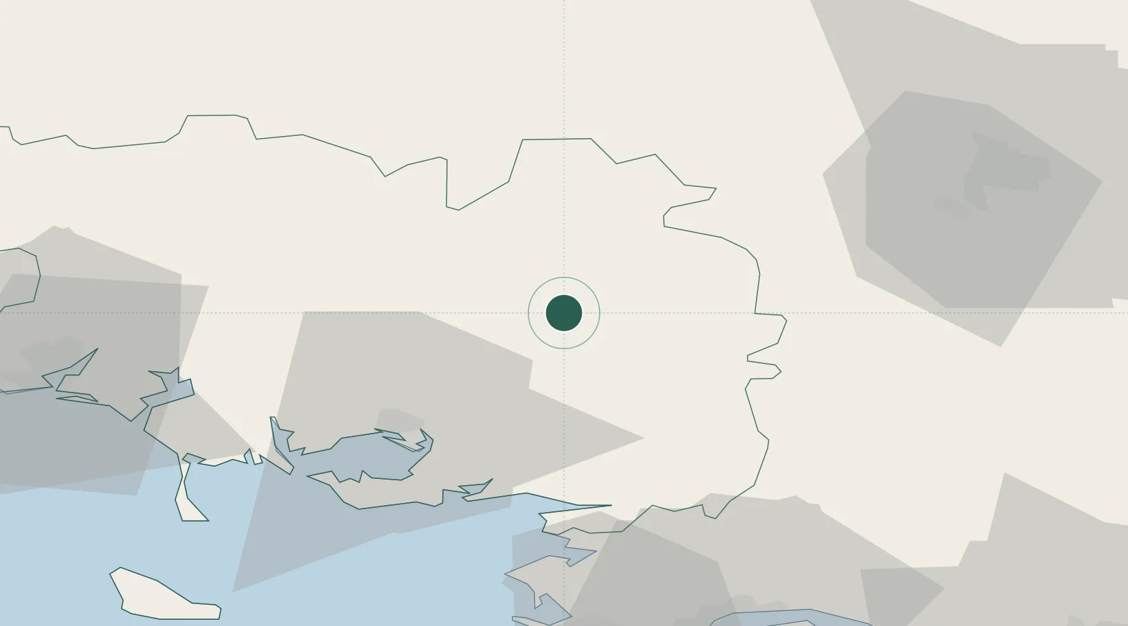
47.8500°, -2.4500°
916
Population
2
Transport functions
Transport Functions
Port
Road
Hub Profile
Place type
Populated place
Region
Brittany
Population
916
Time zone
Europe/Paris
Elevation
36 m
Location
Nearby Logistics Neighbours
Cities
- 1La Chapelle3 km
- 2Malestroit6 km
- 3La Croix-Helléan12 km
- 4Trédion12 km
- 5Plumelec15 km
Ports
- 1Montoir66 km
- 2St Nazaire66 km
- 3Donges68 km
- 4Lorient68 km
- 5Le Legue79 km
Airports
Trade Zones
- 1ZFU Saint-Nazaire65 km
- 2ZFU Nantes et Saint-Herblain89 km
- 3ZFU Angers145 km
- 4ZFU Le Mans193 km
- 5ZFU Alençon199 km
DatabookThe Record of Consolidated Knowledge
France beyond logistics?