Transport Functions
Rail
Road
Hub Profile
Place type
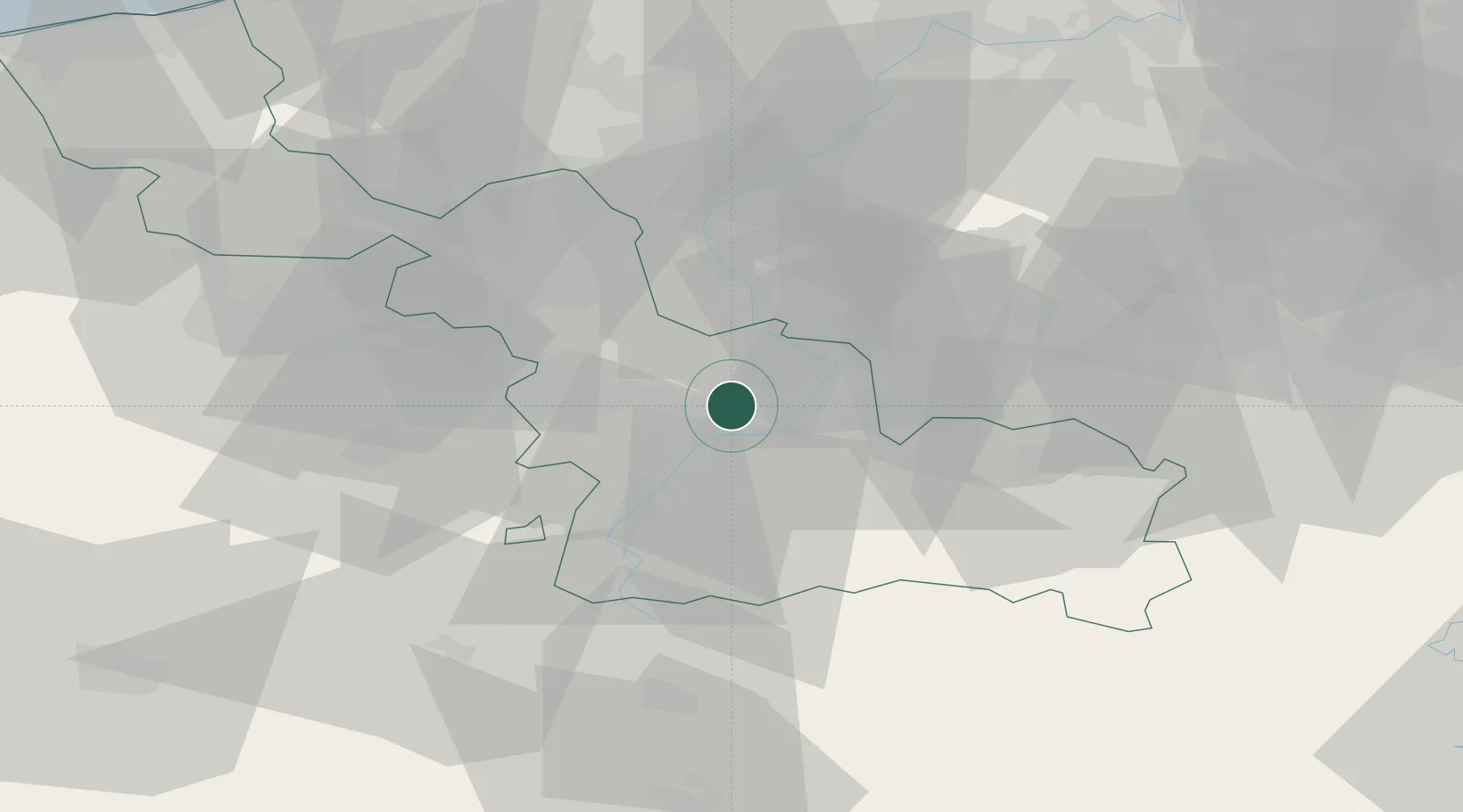
Populated place
Region
Hauts-de-France
Population
5,546
Time zone
Europe/Paris
Elevation
22 m
Location
Nearby Logistics Neighbours
Cities
- 1Escaudain5 km
- 2Denain6 km
- 3Neuville-sur-Escaut8 km
- 4Thiant8 km
- 5Somain8 km
Ports
- 1Ghent81 km
- 2Bruxelles87 km
- 3Nieuwpoort97 km
- 4Bruges97 km
- 5Oostende102 km
Airports
DatabookThe Record of Consolidated Knowledge
France beyond logistics?