UN/LOCODE hub · France
FRZAF
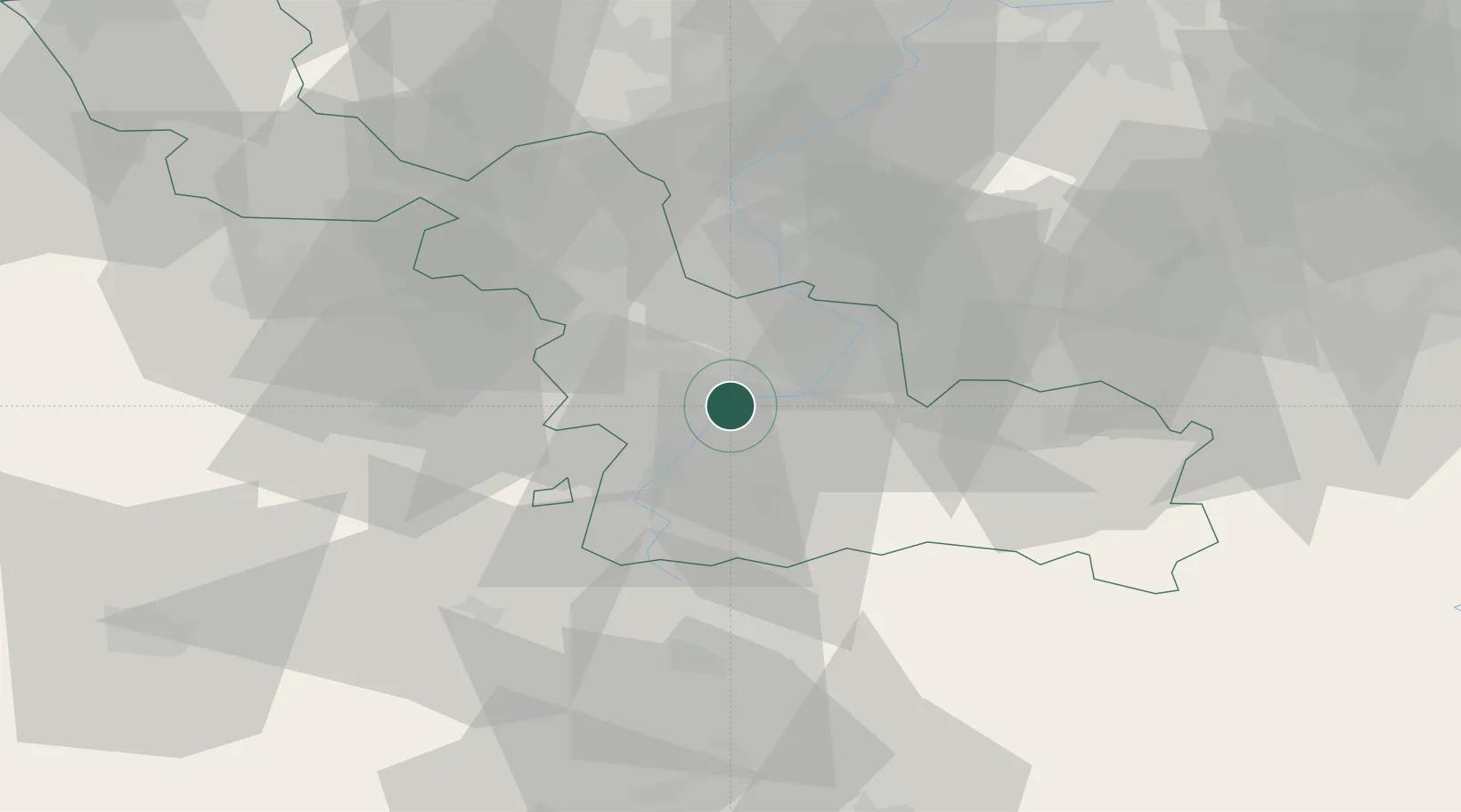
Neuville-sur-Escaut
50.3000°, 3.3500°
2,733
Population
1
Transport functions
Transport Functions
Multimodal
Hub Profile
Place type
Populated place
Region
Hauts-de-France
Population
2,733
Time zone
Europe/Paris
Elevation
36 m
Location
Nearby Logistics Neighbours
Ports
- 1Ghent89 km
- 2Bruxelles95 km
- 3Nieuwpoort102 km
- 4Bruges104 km
- 5Oostende108 km
Airports
DatabookThe Record of Consolidated Knowledge
France beyond logistics?