Transport Functions
Road
Multimodal
Hub Profile
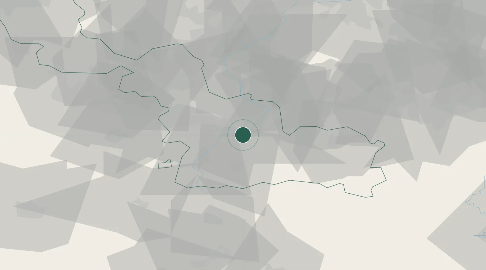
Place type
Populated place
Region
Hauts-de-France
Population
2,632
Time zone
Europe/Paris
Elevation
39 m
Location
Nearby Logistics Neighbours
Cities
- 1Denain4 km
- 2Aulnoy7 km
- 3Marly7 km
- 4Neuville-sur-Escaut7 km
- 5Escaudain8 km
Ports
- 1Ghent88 km
- 2Bruxelles90 km
- 3Nieuwpoort105 km
- 4Bruges105 km
- 5Oostende110 km
Airports
DatabookThe Record of Consolidated Knowledge
France beyond logistics?