Transport Functions
Rail
Road
Hub Profile
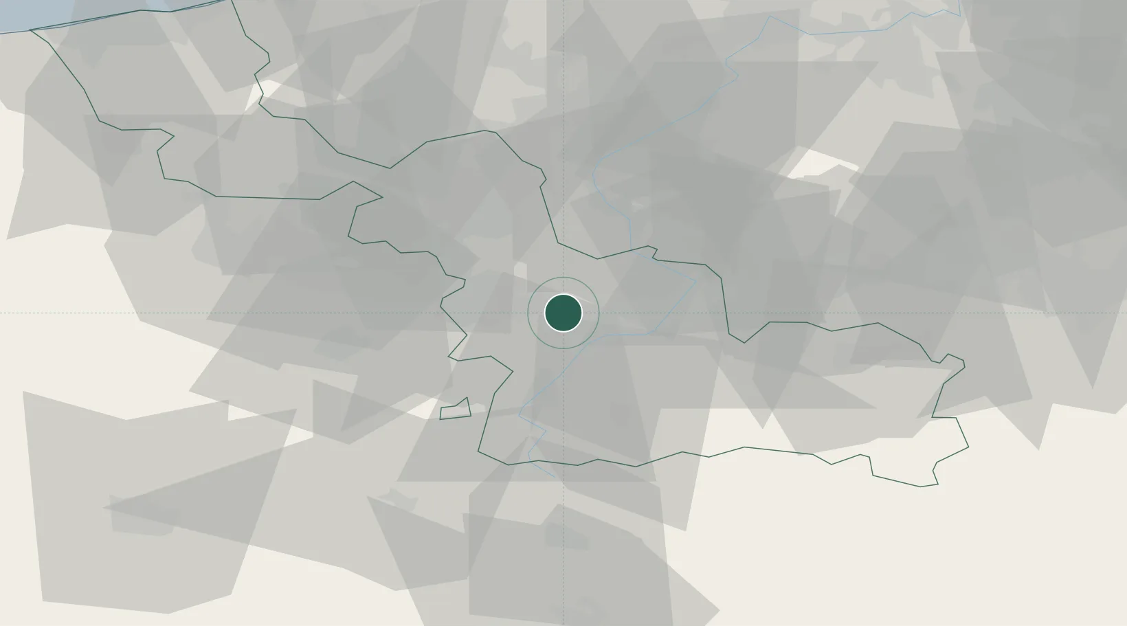
Place type
Populated place
Region
Hauts-de-France
Population
12,310
Time zone
Europe/Paris
Elevation
26 m
Location
Nearby Logistics Neighbours
Cities
- 1Escaudain6 km
- 2Wallers8 km
- 3Neuville-sur-Escaut9 km
- 4Beuvry-la-Forêt9 km
- 5Bouchain10 km
Ports
- 1Ghent84 km
- 2Nieuwpoort93 km
- 3Bruxelles94 km
- 4Bruges97 km
- 5Oostende100 km
Airports
DatabookThe Record of Consolidated Knowledge
France beyond logistics?