Transport Functions
Multimodal
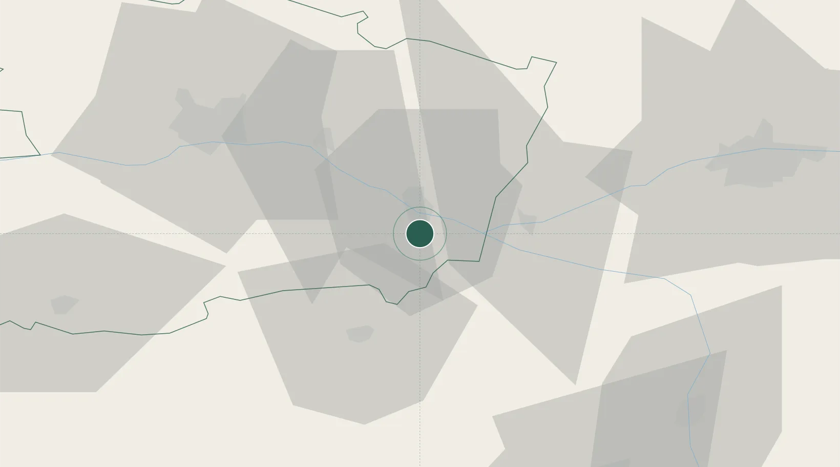
Hub Profile
Place type
Populated place
Region
Pays de la Loire
Population
1,220
Time zone
Europe/Paris
Elevation
35 m
Location
Nearby Logistics Neighbours
Cities
- 1Villebernier5 km
- 2Saumur6 km
- 3Brézé6 km
- 4Saint-Just-sur-Dive6 km
- 5Rou-Marson7 km
Ports
- 1Nantes113 km
- 2La Rochelle145 km
- 3La Pallice146 km
- 4Donges151 km
- 5Les Sables D' Olonne154 km
Airports
- 1Angers Marcé airport42 km
- 2Tours Val de Loire Airport65 km
- 3Poitiers-Biard Airport76 km
- 4Le Mans-Arnage Airport84 km
- 5Niort - Marais Poitevin Airport104 km
Trade Zones
- 1ZFU Angers50 km
- 2ZFU Le Mans86 km
- 3ZFU Blois109 km
- 4ZFU Nantes et Saint-Herblain123 km
- 5ZFU Alençon135 km
DatabookThe Record of Consolidated Knowledge
France beyond logistics?