UN/LOCODE hub · France
FRJSD
Saint-Just-sur-Dive
47.1667°, -0.1000°
357
Population
2
Transport functions
Transport Functions
Road
Multimodal
Hub Profile
Place type
Populated place
Region
Pays de la Loire
Population
357
Time zone
Europe/Paris
Elevation
29 m
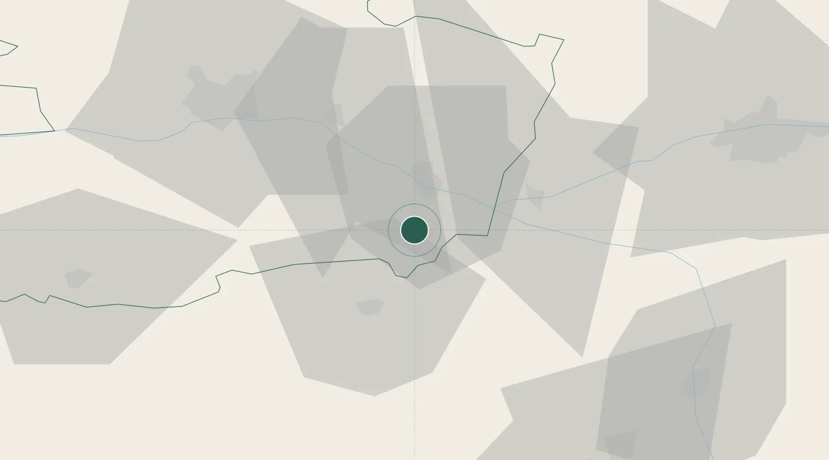
Location
Nearby Logistics Neighbours
Cities
- 1Brézé4 km
- 2Montreuil-Bellay5 km
- 3Varrains6 km
- 4Rou-Marson8 km
- 5Les Ulmes8 km
Ports
- 1Nantes111 km
- 2La Rochelle139 km
- 3La Pallice140 km
- 4Les Sables D' Olonne149 km
- 5Donges149 km
Airports
Trade Zones
- 1ZFU Angers51 km
- 2ZFU Le Mans92 km
- 3ZFU Blois113 km
- 4ZFU Nantes et Saint-Herblain121 km
- 5ZFU La Rochelle140 km
DatabookThe Record of Consolidated Knowledge
France beyond logistics?