Transport Functions
Multimodal
Hub Profile
Place type
Populated place
Region
Pays de la Loire
Population
1,407
Time zone
Europe/Paris
Elevation
27 m
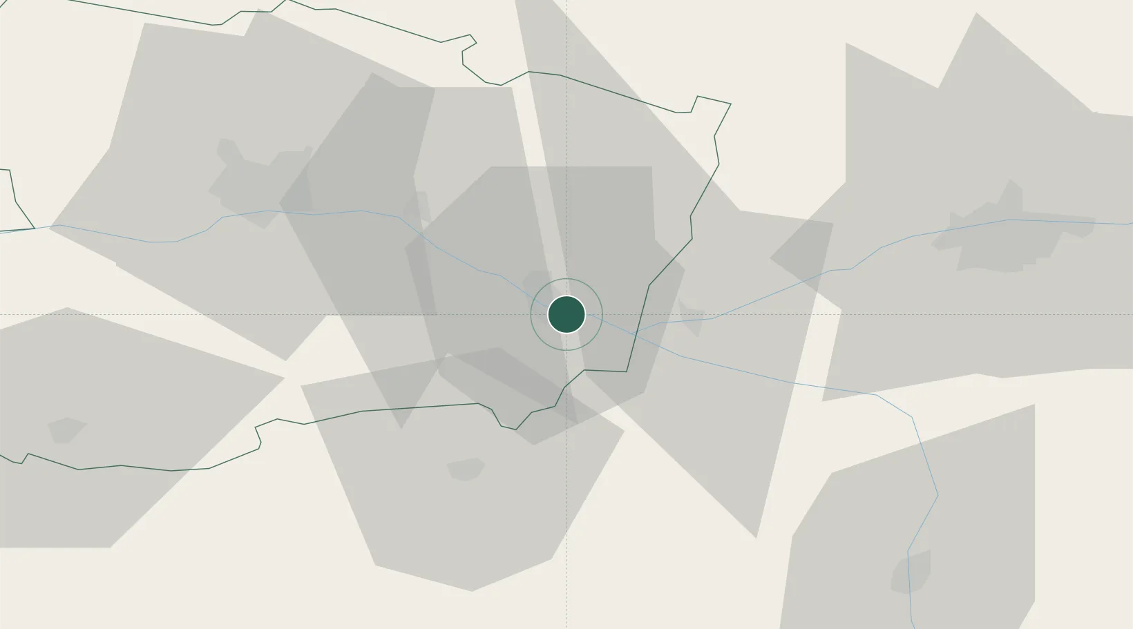
Location
Nearby Logistics Neighbours
Cities
- 1Saumur4 km
- 2Parnay4 km
- 3Varrains5 km
- 4Varennes-sur-Loire5 km
- 5Rou-Marson9 km
Ports
- 1Nantes116 km
- 2La Rochelle149 km
- 3La Pallice151 km
- 4Donges154 km
- 5Les Sables D' Olonne158 km
Airports
- 1Angers Marcé airport40 km
- 2Tours Val de Loire Airport61 km
- 3Poitiers-Biard Airport78 km
- 4Le Mans-Arnage Airport80 km
- 5Laval-Entrammes Airport102 km
Trade Zones
- 1ZFU Angers50 km
- 2ZFU Le Mans82 km
- 3ZFU Blois105 km
- 4ZFU Nantes et Saint-Herblain126 km
- 5ZFU Alençon132 km
DatabookThe Record of Consolidated Knowledge
France beyond logistics?