UN/LOCODE hub · France
FRJXQ

Rou-Marson

47.2333°, -0.1500°
1
Transport functions

Transport Functions

Multimodal
UN/LOCODE

Hub Profile

Region
49
GeoNames

Location

Location of FRJXQ
Natural Earth 10m (public domain) · 49 · FRJXQ · 47.23, -0.15GoogleOSMYandex

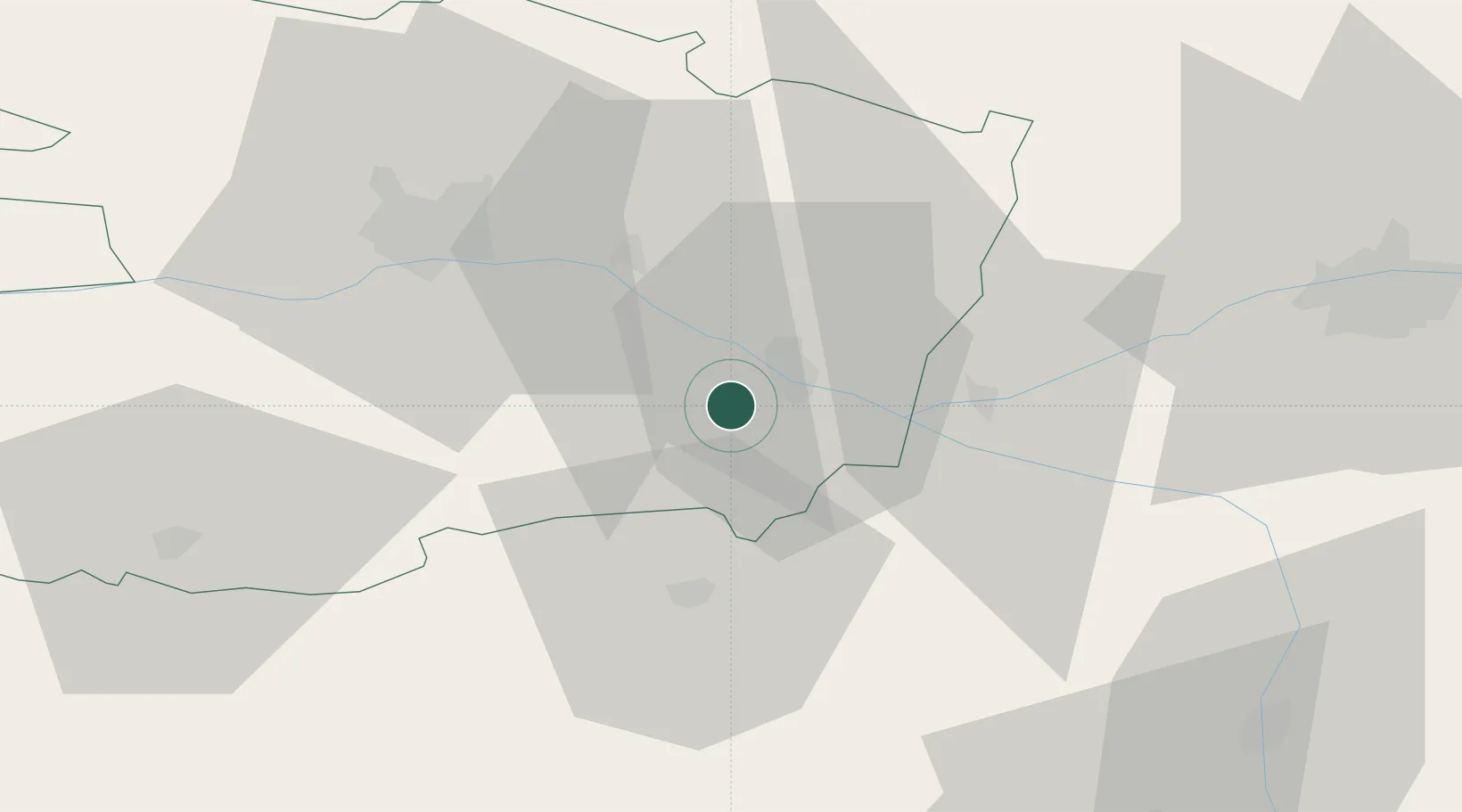
Nearby Logistics Neighbours

Cities
  1. 1Dampierre-sur-Loire1 km
  2. 2Les Ulmes3 km
  3. 3Meigné4 km
  4. 4Saumur6 km
  5. 5Varrains7 km
Nearest neighbours — logibook spatial index (haversine) over the source coordinates
Ports
  1. 1Nantes107 km
  2. 2La Rochelle143 km
  3. 3La Pallice144 km
  4. 4Donges145 km
  5. 5Les Sables D' Olonne150 km
Nearest neighbours — logibook spatial index (haversine) over the source coordinates
Airports
  1. 1Angers Marcé airport38 km
  2. 2Tours Val de Loire Airport70 km
  3. 3Poitiers-Biard Airport80 km
  4. 4Le Mans-Arnage Airport84 km
  5. 5Laval-Entrammes Airport99 km
Nearest neighbours — logibook spatial index (haversine) over the source coordinates
Trade Zones
  1. 1ZFU Angers44 km
  2. 2ZFU Le Mans86 km
  3. 3ZFU Blois114 km
  4. 4ZFU Nantes et Saint-Herblain117 km
  5. 5ZFU Alençon134 km
Nearest neighbours — logibook spatial index (haversine) over the source coordinates
DatabookThe Record of Consolidated Knowledge
France beyond logistics?
Browse databook

All Sources

LocationsUN/LOCODE
UN/LOCODE — free
Portsthe NGA World Port Index
Public domain (US gov)
AirportsOurAirports
Public domain
Trade Zonesthe World Bank SEZ database
CC BY 4.0
Trade ZonesOpen Zone Map
CC BY
← France locations