Transport Functions
Rail
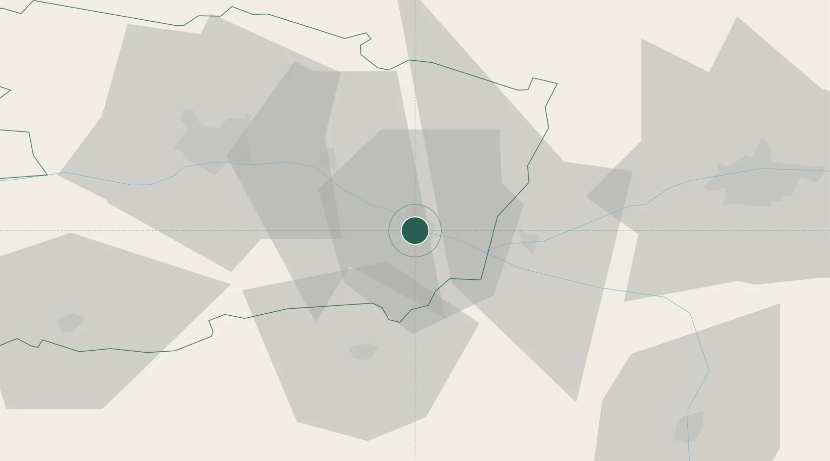
Hub Profile
Place type
District seat
Region
Pays de la Loire
Population
33,229
Time zone
Europe/Paris
Elevation
34 m
Location
Nearby Logistics Neighbours
Cities
- 1Villebernier4 km
- 2Varrains6 km
- 3Rou-Marson6 km
- 4Dampierre-sur-Loire7 km
- 5Neuillé8 km
Ports
- 1Nantes112 km
- 2La Rochelle148 km
- 3Donges150 km
- 4La Pallice150 km
- 5Montoir155 km
Airports
- 1Angers Marcé airport37 km
- 2Tours Val de Loire Airport64 km
- 3Le Mans-Arnage Airport79 km
- 4Poitiers-Biard Airport81 km
- 5Laval-Entrammes Airport99 km
Trade Zones
- 1ZFU Angers46 km
- 2ZFU Le Mans81 km
- 3ZFU Blois108 km
- 4ZFU Nantes et Saint-Herblain122 km
- 5ZFU Alençon130 km
DatabookThe Record of Consolidated Knowledge
France beyond logistics?