Transport Functions
Multimodal
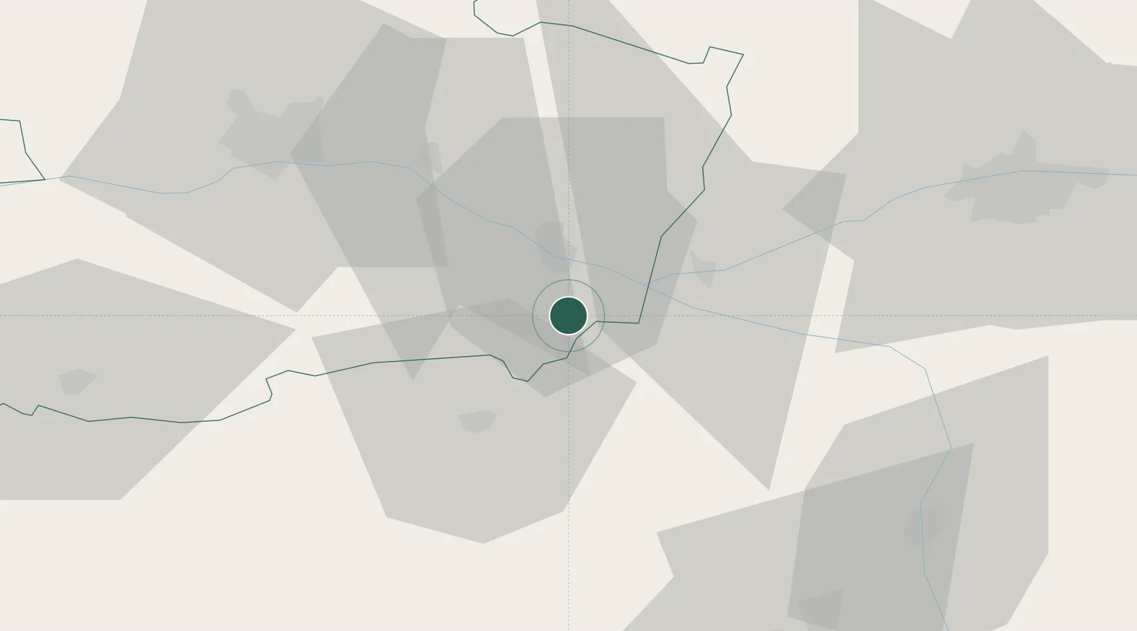
Hub Profile
Place type
Populated place
Region
Pays de la Loire
Population
1,382
Time zone
Europe/Paris
Elevation
55 m
Location
Nearby Logistics Neighbours
Cities
- 1Saint-Just-sur-Dive4 km
- 2Varrains6 km
- 3Castillon-de-Castets8 km
- 4Castelnau-de-Lévis8 km
- 5Le Subdray8 km
Ports
- 1Nantes115 km
- 2La Rochelle141 km
- 3La Pallice142 km
- 4Tonnay Charente152 km
- 5Les Sables D' Olonne152 km
Airports
Trade Zones
- 1ZFU Angers54 km
- 2ZFU Le Mans92 km
- 3ZFU Blois110 km
- 4ZFU Nantes et Saint-Herblain125 km
- 5ZFU Alençon141 km
DatabookThe Record of Consolidated Knowledge
France beyond logistics?