Transport Functions
Port
Road
Hub Profile
Place type
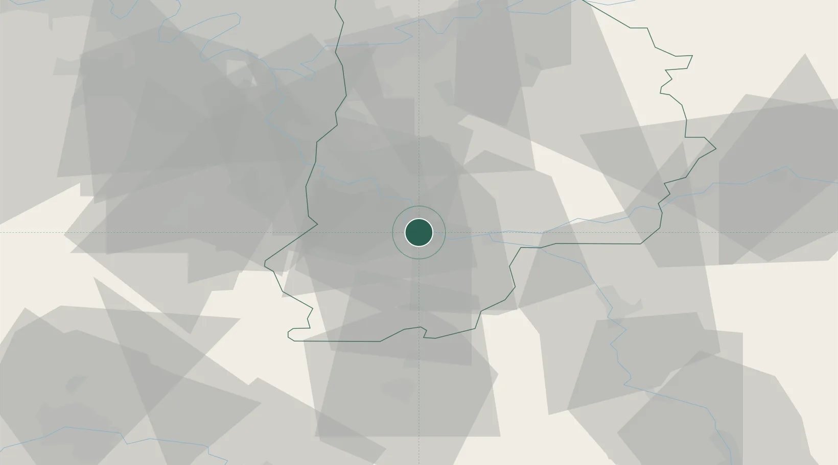
Populated place
Region
Île-de-France
Population
3,288
Time zone
Europe/Paris
Elevation
54 m
Location
Nearby Logistics Neighbours
Cities
- 1Samoreau3 km
- 2Vulaines-sur-Seine3 km
- 3Samois-sur-Seine6 km
- 4Écuelles6 km
- 5Machault7 km
Ports
- 1Port Of Rouen171 km
- 2Dieppe211 km
- 3Le Treport212 km
- 4Saint-Valery-Sur-Somme216 km
- 5Honfleur219 km
Airports
Trade Zones
- 1ZFU Montereau-Fault-Yonne12 km
- 2ZFU Melun19 km
- 3ZFU Corbeil-Evry34 km
- 4ZFU Epinay-sous-Sénart38 km
- 5ZFU Sens43 km
DatabookThe Record of Consolidated Knowledge
France beyond logistics?