Transport Functions
Multimodal
Hub Profile
Place type
Populated place
Region
Centre-Val de Loire
Population
230
Time zone
Europe/Paris
Elevation
141 m
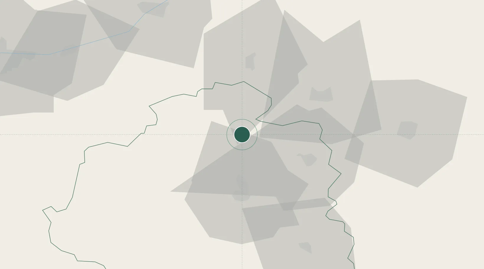
Location
Nearby Logistics Neighbours
Cities
- 1Lizeray17 km
- 2Saint-Valentin17 km
- 3Varennes-sur-Fouzon19 km
- 4Chabris21 km
- 5Gièvres23 km
Ports
- 1Tonnay Charente237 km
- 2Rochefort240 km
- 3La Rochelle242 km
- 4La Pallice245 km
- 5Nantes249 km
Airports
- 1Châteauroux Déols airport23 km
- 2Bourges airport50 km
- 3Avord (BA 702) Air Base69 km
- 4Tours Val de Loire Airport85 km
- 5Orléans-Bricy (BA 123) Air Base103 km
Trade Zones
- 1ZFU Bourges46 km
- 2ZFU Blois66 km
- 3ZFU Orléans90 km
- 4ZFU Le Mans157 km
- 5ZFU Sens171 km
DatabookThe Record of Consolidated Knowledge
France beyond logistics?