Transport Functions
Road
Multimodal
Hub Profile
Place type
Populated place
Region
Nouvelle-Aquitaine
Population
708
Time zone
Europe/Paris
Elevation
130 m
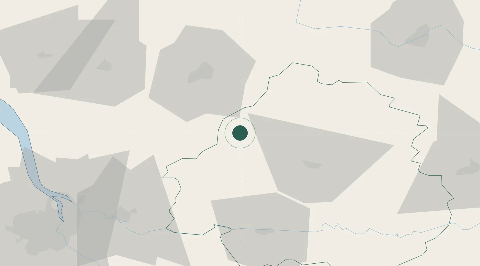
Location
Nearby Logistics Neighbours
Cities
- 1Champagne-et-Fontaine8 km
- 2Mareuil en Périgord13 km
- 3Édon15 km
- 4Laplume15 km
- 5Tocane-Saint-Apre15 km
Airports
Trade Zones
- 1Port de Bordeaux86 km
- 2ZFU Hauts de Garonne94 km
- 3ZFU La Rochelle152 km
- 4ZFU Toulouse212 km
- 5ZFU Clermont-Ferrand217 km
DatabookThe Record of Consolidated Knowledge
France beyond logistics?