Transport Functions
Multimodal
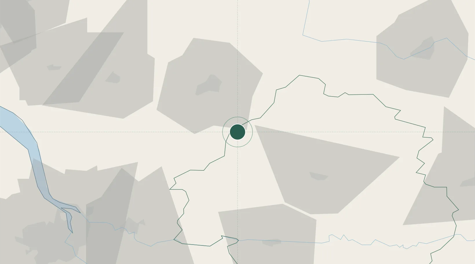
Hub Profile
Region
24
Location
Nearby Logistics Neighbours
Cities
- 1Édon8 km
- 2Verteillac8 km
- 3Mareuil en Périgord11 km
- 4Bors-de-Montmoreau14 km
- 5Montmoreau-Saint-Cybard14 km
Airports
Trade Zones
- 1Port de Bordeaux87 km
- 2ZFU Hauts de Garonne96 km
- 3ZFU La Rochelle145 km
- 4ZFU Clermont-Ferrand219 km
- 5ZFU Toulouse220 km
DatabookThe Record of Consolidated Knowledge
France beyond logistics?