UN/LOCODE hub · France
FRTCC
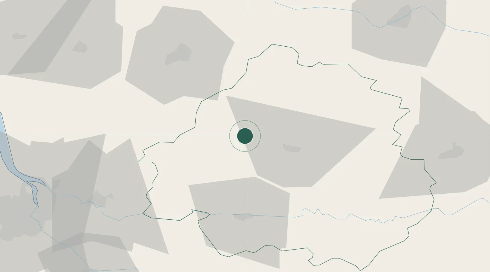
Tocane-Saint-Apre
45.2500°, 0.5000°
1,527
Population
2
Transport functions
Transport Functions
Road
Multimodal
Hub Profile
Place type
Populated place
Region
Nouvelle-Aquitaine
Population
1,527
Time zone
Europe/Paris
Elevation
88 m
Location
Nearby Logistics Neighbours
Cities
- 1Saint-Astier13 km
- 2Siorac-de-Ribérac14 km
- 3Chancelade14 km
- 4Saint-Léon-sur-l'Isle15 km
- 5Verteillac15 km
Airports
Trade Zones
- 1Port de Bordeaux90 km
- 2ZFU Hauts de Garonne97 km
- 3ZFU La Rochelle167 km
- 4ZFU Toulouse198 km
- 5ZFU Clermont-Ferrand210 km
DatabookThe Record of Consolidated Knowledge
France beyond logistics?