Transport Functions
Multimodal
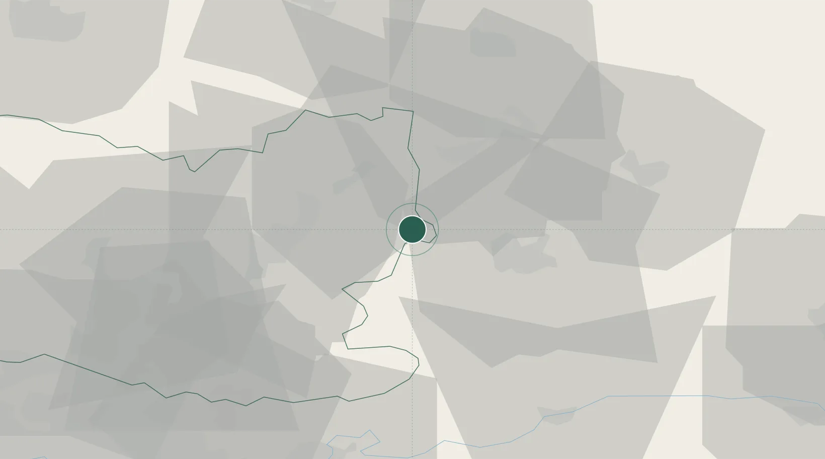
Hub Profile
Place type
Populated place
Region
Hauts-de-France
Population
703
Time zone
Europe/Paris
Elevation
83 m
Location
Nearby Logistics Neighbours
Cities
- 1Ressons-le-Long8 km
- 2Épagny10 km
- 3Pernant10 km
- 4Trosly-Breuil12 km
- 5Varesnes14 km
Ports
- 1Saint-Valery-Sur-Somme135 km
- 2Le Treport143 km
- 3Port Of Rouen148 km
- 4Dieppe156 km
- 5Boulogne-Sur-Mer179 km
Airports
Trade Zones
- 1ZFU Presles, Chevreux16 km
- 2ZFU Le Vermandois Vermand, Fayet, Artois, Champagne45 km
- 3ZFU Creil et Montataire55 km
- 4ZFU Meaux57 km
- 5ZFU Reims67 km
DatabookThe Record of Consolidated Knowledge
France beyond logistics?