Transport Functions
Rail
Road
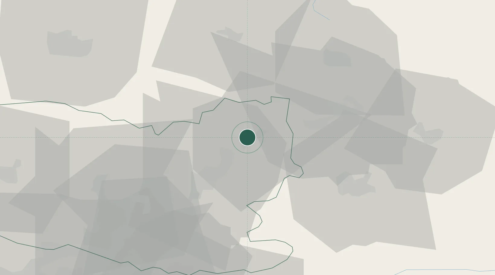
Hub Profile
Place type
Populated place
Region
Hauts-de-France
Time zone
Europe/Paris
Elevation
38 m
Location
Nearby Logistics Neighbours
Cities
- 1Varesnes6 km
- 2Mélicocq11 km
- 3Roye-sur-Matz13 km
- 4Ercheu17 km
- 5Moyencourt17 km
Ports
- 1Saint-Valery-Sur-Somme119 km
- 2Le Treport128 km
- 3Port Of Rouen138 km
- 4Dieppe141 km
- 5Boulogne-Sur-Mer162 km
Airports
Trade Zones
- 1ZFU Presles, Chevreux32 km
- 2ZFU Le Vermandois Vermand, Fayet, Artois, Champagne36 km
- 3ZFU Creil et Montataire52 km
- 4ZFU Beauvais67 km
- 5ZFU Meaux68 km
DatabookThe Record of Consolidated Knowledge
France beyond logistics?