Transport Functions
Multimodal
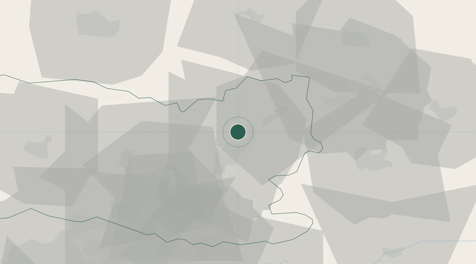
Hub Profile
Place type
Populated place
Region
Hauts-de-France
Time zone
Europe/Paris
Elevation
46 m
Location
Nearby Logistics Neighbours
Cities
- 1Compiègne10 km
- 2Roye-sur-Matz10 km
- 3Pont-l'Évêque11 km
- 4Trosly-Breuil14 km
- 5Varesnes16 km
Ports
- 1Saint-Valery-Sur-Somme117 km
- 2Le Treport124 km
- 3Port Of Rouen129 km
- 4Dieppe136 km
- 5Boulogne-Sur-Mer164 km
Airports
Trade Zones
- 1ZFU Presles, Chevreux36 km
- 2ZFU Creil et Montataire41 km
- 3ZFU Le Vermandois Vermand, Fayet, Artois, Champagne47 km
- 4ZFU Beauvais58 km
- 5ZFU Meaux60 km
DatabookThe Record of Consolidated Knowledge
France beyond logistics?