UN/LOCODE hub · France
FRVS2
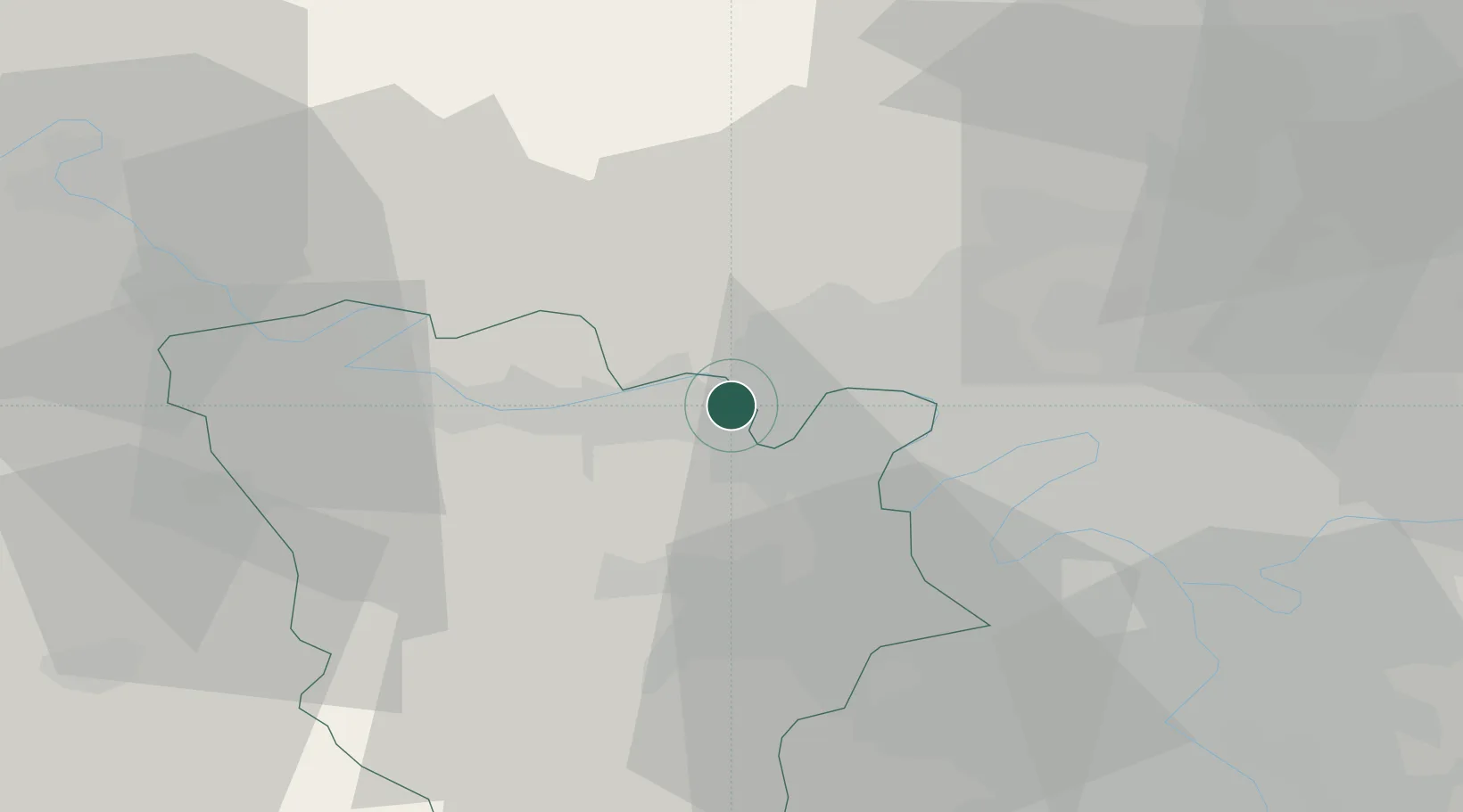
Verneuil-sur-Seine
48.9833°, 1.9833°
16,790
Population
2
Transport functions
Transport Functions
Road
Multimodal
Hub Profile
Place type
Populated place
Region
Île-de-France
Population
16,790
Time zone
Europe/Paris
Elevation
60 m
Location
Nearby Logistics Neighbours
Cities
- 1Vernouillet2 km
- 2Chapet4 km
- 3Jouy-le-Moutier5 km
- 4Hardricourt6 km
- 5Maurecourt6 km
Ports
- 1Port Of Rouen84 km
- 2Dieppe124 km
- 3Le Treport128 km
- 4Saint-Valery-Sur-Somme136 km
- 5Honfleur137 km
Airports
Trade Zones
- 1ZFU Les Mureaux7 km
- 2ZFU Sartrouville14 km
- 3ZFU Argenteuil18 km
- 4ZFU Mantes-la-Jolie20 km
- 5ZFU Trappes23 km
DatabookThe Record of Consolidated Knowledge
France beyond logistics?