Transport Functions
Multimodal
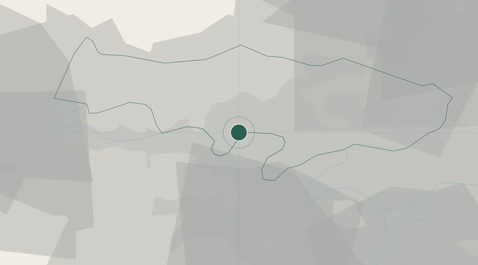
Hub Profile
Place type
Populated place
Region
Île-de-France
Population
3,668
Time zone
Europe/Paris
Elevation
27 m
Location
Nearby Logistics Neighbours
Cities
- 1Jouy-le-Moutier3 km
- 2Achères4 km
- 3Cergy4 km
- 4Verneuil-sur-Seine6 km
- 5Vernouillet7 km
Ports
- 1Port Of Rouen88 km
- 2Dieppe126 km
- 3Le Treport129 km
- 4Saint-Valery-Sur-Somme136 km
- 5Honfleur142 km
Airports
Trade Zones
- 1ZFU Sartrouville10 km
- 2ZFU Les Mureaux13 km
- 3ZFU Argenteuil13 km
- 4ZFU Epinay-sur-Seine18 km
- 5ZFU Villiers-le-Bel23 km
DatabookThe Record of Consolidated Knowledge
France beyond logistics?