Transport Functions
Road
Multimodal
Hub Profile
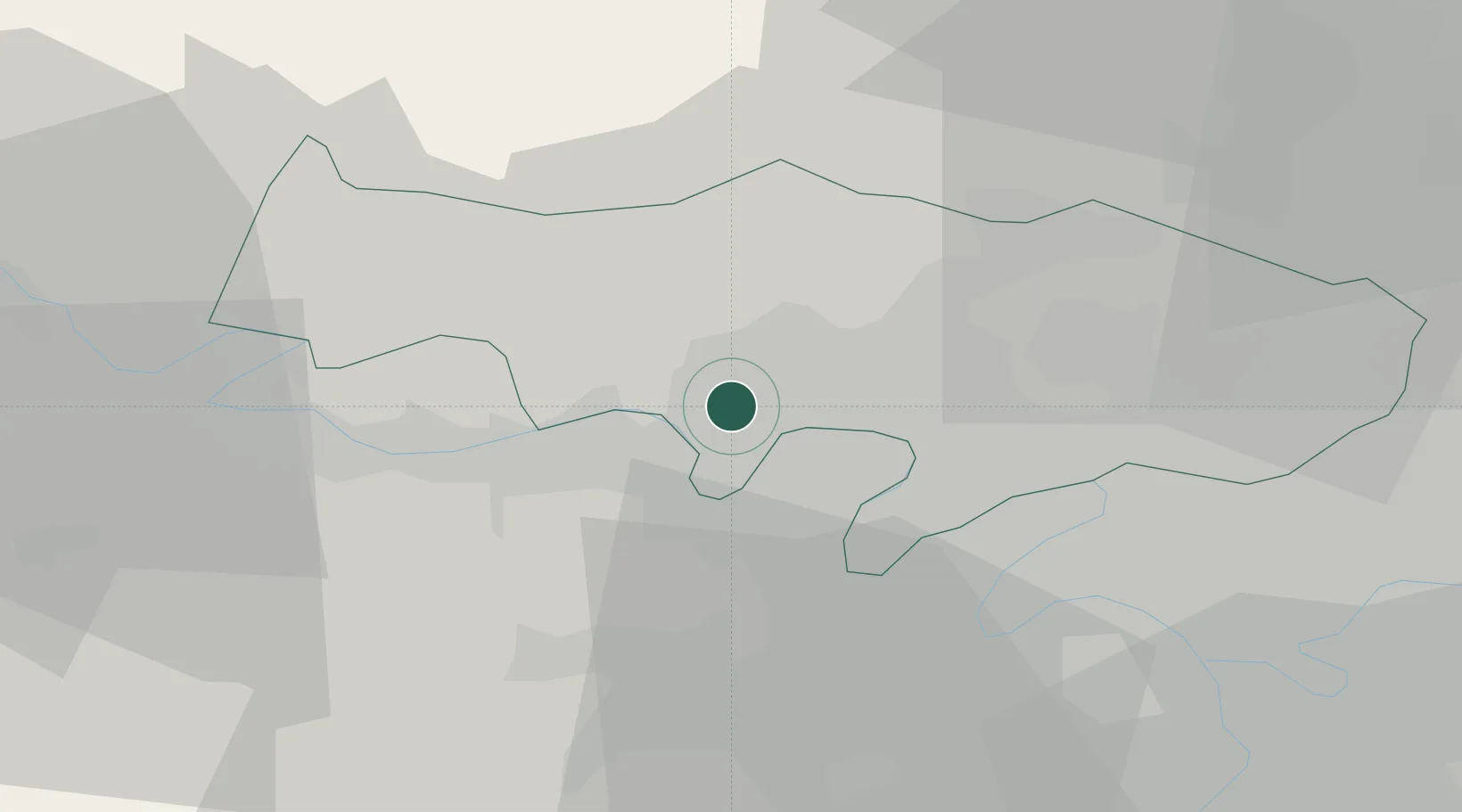
Place type
Populated place
Region
Île-de-France
Population
19,087
Time zone
Europe/Paris
Elevation
88 m
Location
Nearby Logistics Neighbours
Cities
- 1Maurecourt3 km
- 2Cergy4 km
- 3Verneuil-sur-Seine5 km
- 4Boissy-l'Aillerie6 km
- 5Achères6 km
Ports
- 1Port Of Rouen85 km
- 2Dieppe123 km
- 3Le Treport126 km
- 4Saint-Valery-Sur-Somme133 km
- 5Honfleur139 km
Airports
Trade Zones
- 1ZFU Les Mureaux11 km
- 2ZFU Sartrouville13 km
- 3ZFU Argenteuil16 km
- 4ZFU Epinay-sur-Seine21 km
- 5ZFU Mantes-la-Jolie24 km
DatabookThe Record of Consolidated Knowledge
France beyond logistics?