Transport Functions
Port
Multimodal
Hub Profile
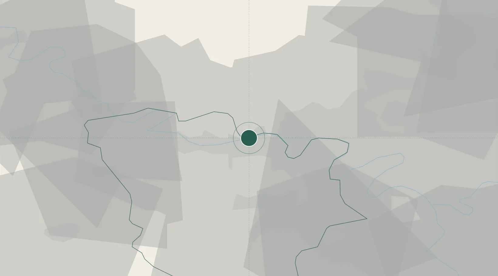
Place type
Populated place
Region
Île-de-France
Population
1,941
Time zone
Europe/Paris
Elevation
61 m
Location
Nearby Logistics Neighbours
Cities
- 1Flins4 km
- 2Chapet4 km
- 3Verneuil-sur-Seine6 km
- 4Vernouillet7 km
- 5Issou8 km
Ports
- 1Port Of Rouen79 km
- 2Dieppe119 km
- 3Le Treport125 km
- 4Honfleur131 km
- 5Saint-Valery-Sur-Somme133 km
Airports
Trade Zones
- 1ZFU Les Mureaux2 km
- 2ZFU Mantes-la-Jolie14 km
- 3ZFU Sartrouville20 km
- 4ZFU Argenteuil25 km
- 5ZFU Trappes26 km
DatabookThe Record of Consolidated Knowledge
France beyond logistics?