Transport Functions
Multimodal
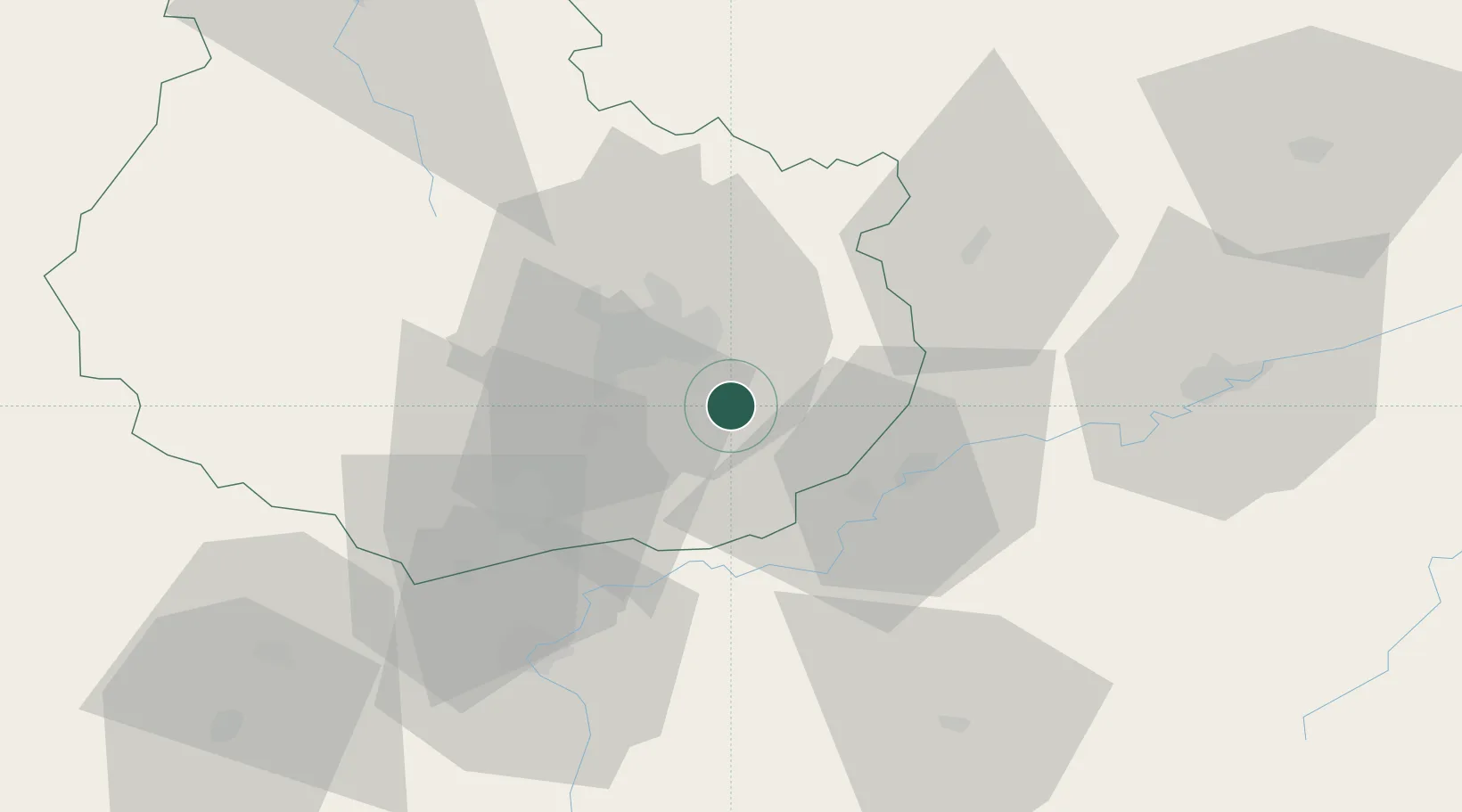
Hub Profile
Place type
Populated place
Region
Bourgogne
Population
831
Time zone
Europe/Paris
Elevation
233 m
Location
Nearby Logistics Neighbours
Cities
- 1Aiserey5 km
- 2Izeure6 km
- 3Fauverney7 km
- 4Brazey-en-Plaine8 km
- 5Saulon-la-Chapelle9 km
Ports
- 1Port Of Rouen395 km
- 2Savona410 km
- 3Bruxelles412 km
- 4Rada Di Vado413 km
- 5Fos421 km
Airports
- 1Dijon Longvic airport11 km
- 2Dole Tavaux Airport25 km
- 3Vesoul-Frotey Airfield90 km
- 4Mâcon-Charnay Airfield105 km
- 5Luxeuil-Saint-Sauveur (BA 116) Air Base109 km
Trade Zones
DatabookThe Record of Consolidated Knowledge
France beyond logistics?