Transport Functions
Road
Multimodal
Hub Profile
Place type
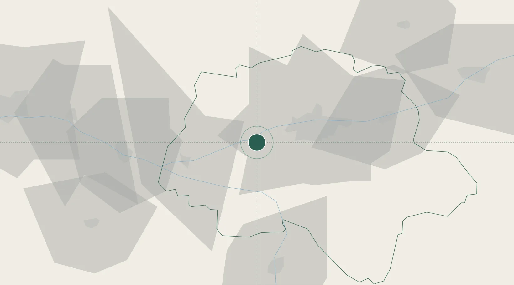
Populated place
Region
Centre-Val de Loire
Population
813
Time zone
Europe/Paris
Elevation
79 m
Location
Nearby Logistics Neighbours
Cities
- 1Lignières-de-Touraine4 km
- 2Mazières-de-Touraine8 km
- 3Saché11 km
- 4Ingrandes-de-Touraine16 km
- 5Avrillé-les-Ponceaux17 km
Ports
- 1Nantes154 km
- 2La Rochelle179 km
- 3La Pallice181 km
- 4Tonnay Charente186 km
- 5Rochefort188 km
Airports
- 1Tours Val de Loire Airport24 km
- 2Angers Marcé airport65 km
- 3Le Mans-Arnage Airport73 km
- 4Poitiers-Biard Airport82 km
- 5Châteaudun Airfield107 km
Trade Zones
- 1ZFU Blois67 km
- 2ZFU Le Mans78 km
- 3ZFU Angers82 km
- 4ZFU Orléans120 km
- 5ZFU Alençon127 km
DatabookThe Record of Consolidated Knowledge
France beyond logistics?