Transport Functions
Multimodal
Hub Profile
Place type
Populated place
Region
Centre-Val de Loire
Population
1,046
Time zone
Europe/Paris
Elevation
61 m
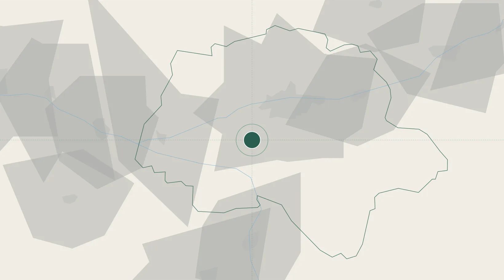
Location
Nearby Logistics Neighbours
Cities
- 1Crissay-sur-Manse11 km
- 2Vallères11 km
- 3Sorigny11 km
- 4Lignières-de-Touraine13 km
- 5Montbazon14 km
Ports
- 1Nantes160 km
- 2La Rochelle177 km
- 3La Pallice180 km
- 4Tonnay Charente182 km
- 5Rochefort185 km
Airports
- 1Tours Val de Loire Airport26 km
- 2Poitiers-Biard Airport74 km
- 3Angers Marcé airport74 km
- 4Le Mans-Arnage Airport84 km
- 5Châteauroux Déols airport98 km
Trade Zones
- 1ZFU Blois67 km
- 2ZFU Le Mans89 km
- 3ZFU Angers91 km
- 4ZFU Orléans120 km
- 5ZFU Bourges136 km
DatabookThe Record of Consolidated Knowledge
France beyond logistics?