UN/LOCODE hub · France
FRL5T
Lignières-de-Touraine
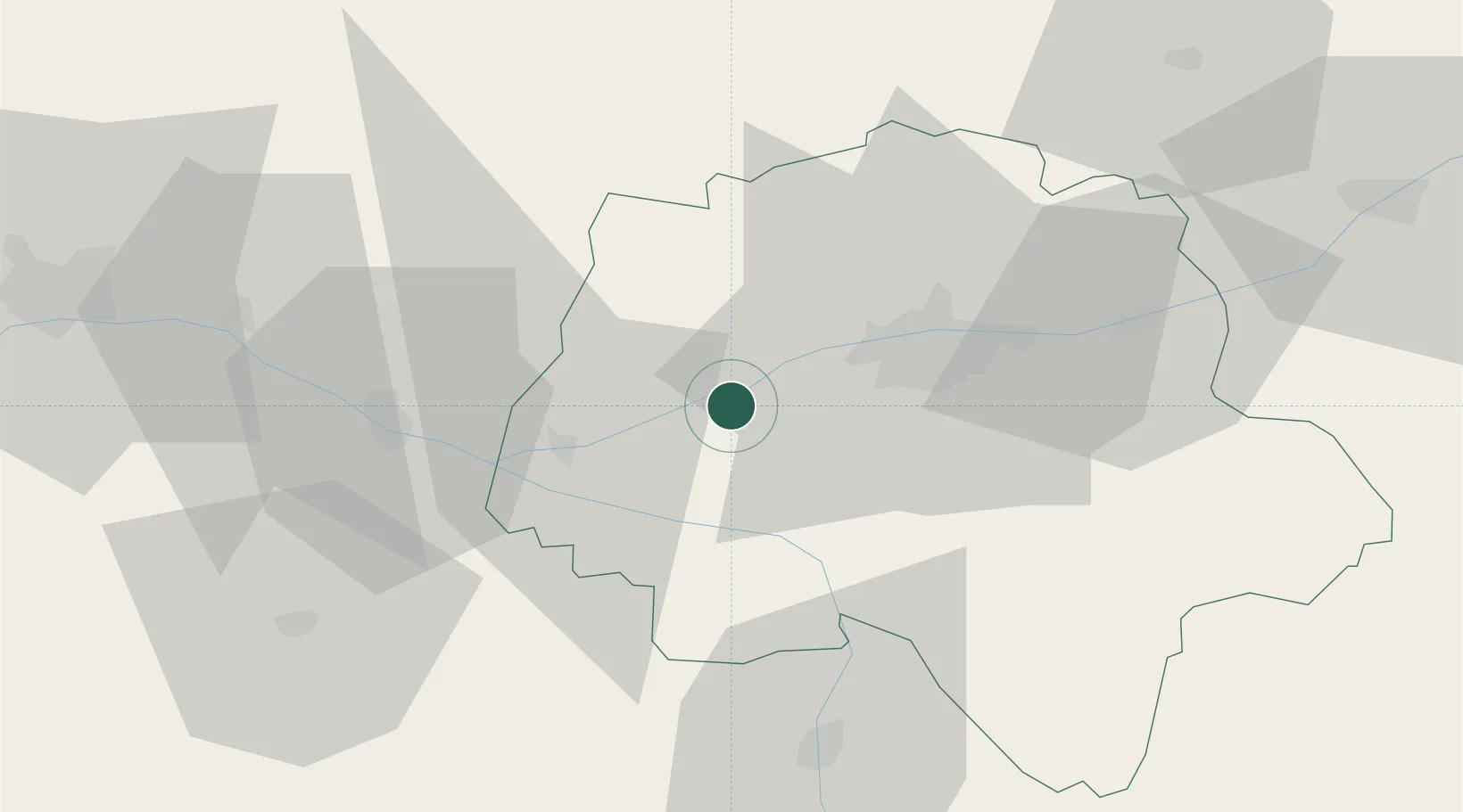
47.3000°, 0.4167°
965
Population
1
Transport functions
Transport Functions
Port
Hub Profile
Place type
Populated place
Region
Centre-Val de Loire
Population
965
Time zone
Europe/Paris
Elevation
47 m
Location
Nearby Logistics Neighbours
Cities
- 1Vallères4 km
- 2Mazières-de-Touraine9 km
- 3Ingrandes-de-Touraine12 km
- 4Saché13 km
- 5Restigné14 km
Ports
- 1Nantes150 km
- 2La Rochelle175 km
- 3La Pallice177 km
- 4Tonnay Charente182 km
- 5Rochefort184 km
Airports
- 1Tours Val de Loire Airport28 km
- 2Angers Marcé airport62 km
- 3Le Mans-Arnage Airport74 km
- 4Poitiers-Biard Airport80 km
- 5Châteauroux Déols airport111 km
Trade Zones
- 1ZFU Blois71 km
- 2ZFU Le Mans79 km
- 3ZFU Angers79 km
- 4ZFU Orléans125 km
- 5ZFU Alençon128 km
DatabookThe Record of Consolidated Knowledge
France beyond logistics?