UN/LOCODE hub · France
FRUNJ
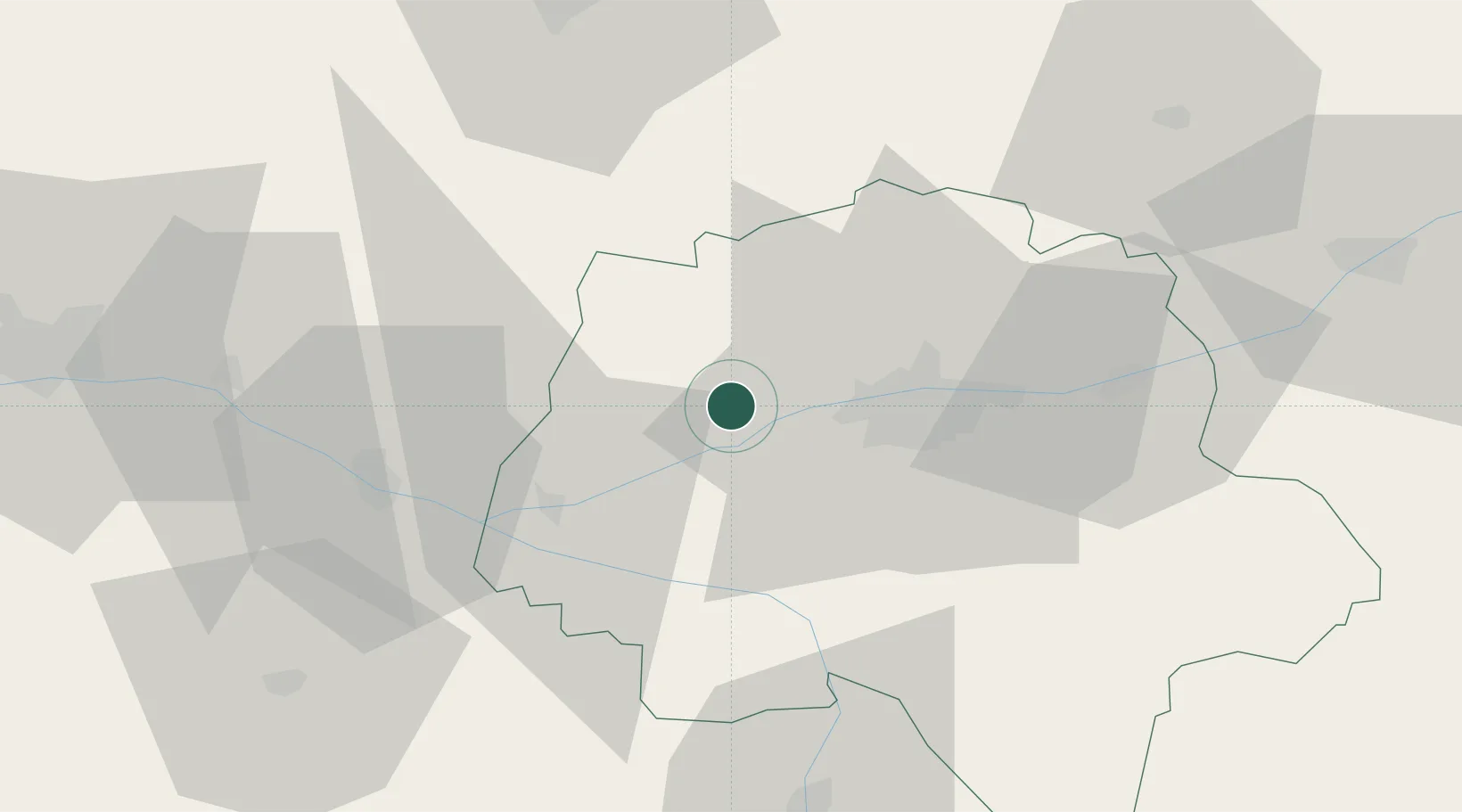
Mazières-de-Touraine
47.3833°, 0.4333°
1,063
Population
1
Transport functions
Transport Functions
Multimodal
Hub Profile
Place type
Populated place
Region
Centre-Val de Loire
Population
1,063
Time zone
Europe/Paris
Elevation
90 m
Location
Nearby Logistics Neighbours
Cities
- 1Vallères8 km
- 2Lignières-de-Touraine9 km
- 3Avrillé-les-Ponceaux11 km
- 4Hommes12 km
- 5Mettray16 km
Ports
- 1Nantes152 km
- 2La Rochelle183 km
- 3La Pallice185 km
- 4Tonnay Charente191 km
- 5Rochefort193 km
Airports
- 1Tours Val de Loire Airport23 km
- 2Angers Marcé airport59 km
- 3Le Mans-Arnage Airport65 km
- 4Poitiers-Biard Airport89 km
- 5Châteaudun Airfield103 km
Trade Zones
- 1ZFU Blois67 km
- 2ZFU Le Mans70 km
- 3ZFU Angers78 km
- 4ZFU Orléans119 km
- 5ZFU Alençon119 km
DatabookThe Record of Consolidated Knowledge
France beyond logistics?