UN/LOCODE hub · France
FRIIT
Ingrandes-de-Touraine
47.2833°, 0.2667°
512
Population
2
Transport functions
Transport Functions
Road
Multimodal
Hub Profile
Place type
Populated place
Region
Centre-Val de Loire
Population
512
Time zone
Europe/Paris
Elevation
47 m
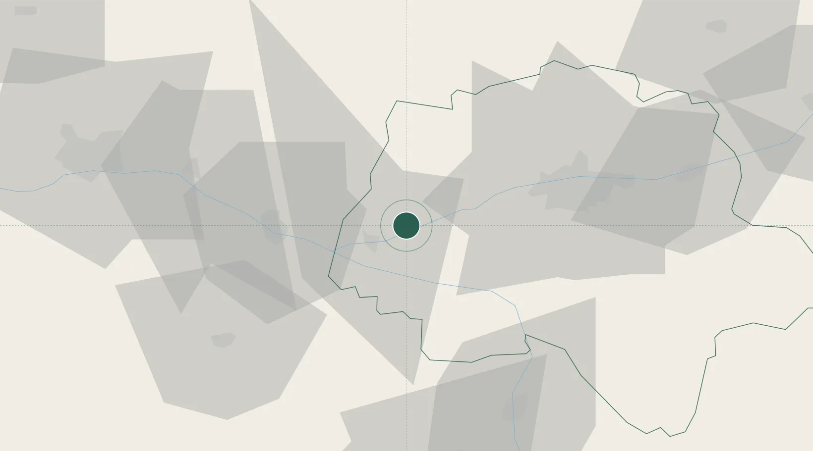
Location
Nearby Logistics Neighbours
Cities
- 1Restigné3 km
- 2Bourgueil8 km
- 3Beaumont-en-Véron11 km
- 4Lignières-de-Touraine12 km
- 5Avoine12 km
Ports
- 1Nantes139 km
- 2La Rochelle166 km
- 3La Pallice168 km
- 4Tonnay Charente175 km
- 5Rochefort177 km
Airports
- 1Tours Val de Loire Airport39 km
- 2Angers Marcé airport53 km
- 3Le Mans-Arnage Airport74 km
- 4Poitiers-Biard Airport77 km
- 5Laval-Entrammes Airport113 km
Trade Zones
- 1ZFU Angers69 km
- 2ZFU Le Mans78 km
- 3ZFU Blois82 km
- 4ZFU Alençon128 km
- 5ZFU Orléans135 km
DatabookThe Record of Consolidated Knowledge
France beyond logistics?