Transport Functions
Multimodal
Hub Profile
Place type
Populated place
Region
Pays de la Loire
Population
1,534
Time zone
Europe/Paris
Elevation
69 m
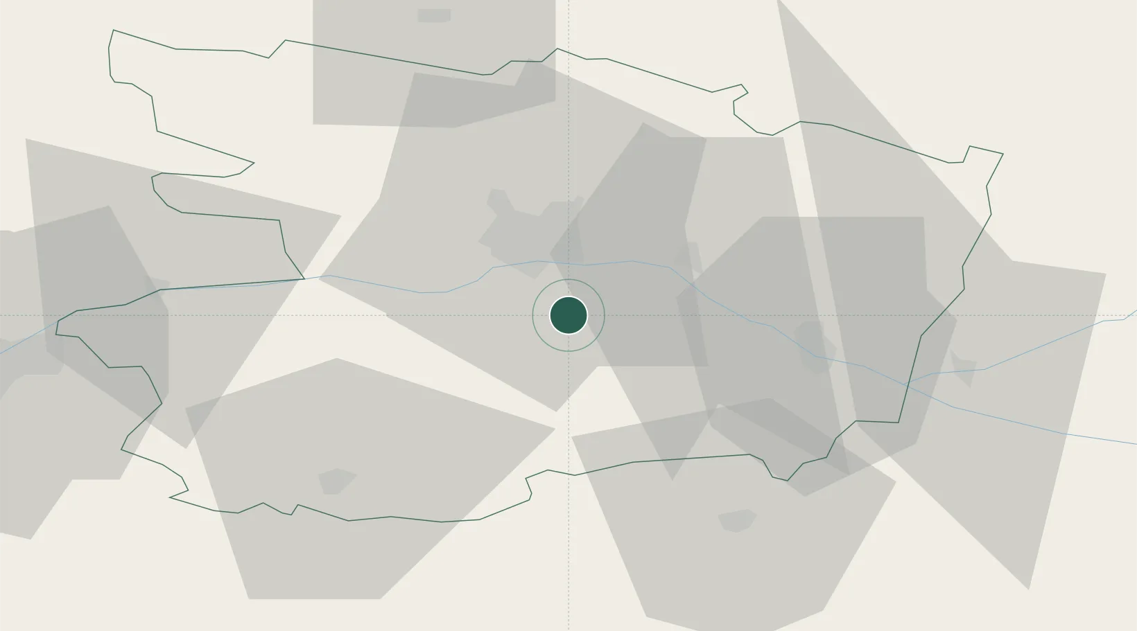
Location
Nearby Logistics Neighbours
Cities
- 1Notre-Dame-d'Allençon4 km
- 2Soulaines-sur-Aubance5 km
- 3Mozé-sur-Louet5 km
- 4Juigné-sur-Loire7 km
- 5Bellevigne-en-Layon8 km
Ports
- 1Nantes83 km
- 2Donges119 km
- 3Montoir124 km
- 4St Nazaire130 km
- 5Les Sables D' Olonne136 km
Airports
- 1Angers Marcé airport28 km
- 2Laval-Entrammes Airport80 km
- 3Le Mans-Arnage Airport86 km
- 4Nantes Atlantique Airport87 km
- 5Tours Val de Loire Airport92 km
Trade Zones
- 1ZFU Angers19 km
- 2ZFU Le Mans85 km
- 3ZFU Nantes et Saint-Herblain93 km
- 4ZFU Alençon129 km
- 5ZFU Blois135 km
DatabookThe Record of Consolidated Knowledge
France beyond logistics?