Transport Functions
Road
Multimodal
Hub Profile
Region
49
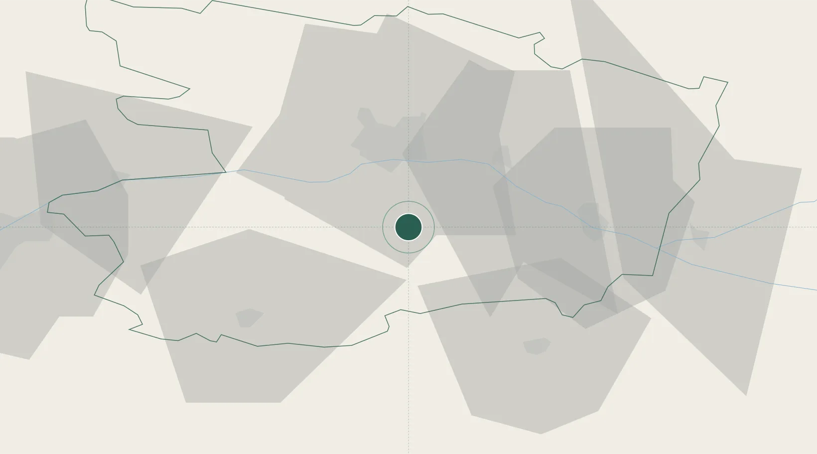
Location
Nearby Logistics Neighbours
Cities
- 1Notre-Dame-d'Allençon5 km
- 2Vauchrétien8 km
- 3Beaulieu-sur-Layon8 km
- 4Valanjou8 km
- 5Montilliers9 km
Ports
- 1Nantes81 km
- 2Donges118 km
- 3Montoir123 km
- 4St Nazaire128 km
- 5Les Sables D' Olonne131 km
Airports
Trade Zones
- 1ZFU Angers25 km
- 2ZFU Nantes et Saint-Herblain91 km
- 3ZFU Le Mans92 km
- 4ZFU Saint-Nazaire134 km
- 5ZFU La Rochelle134 km
DatabookThe Record of Consolidated Knowledge
France beyond logistics?