Transport Functions
Multimodal
Hub Profile
Place type
Populated place
Region
Pays de la Loire
Time zone
Europe/Paris
Elevation
69 m
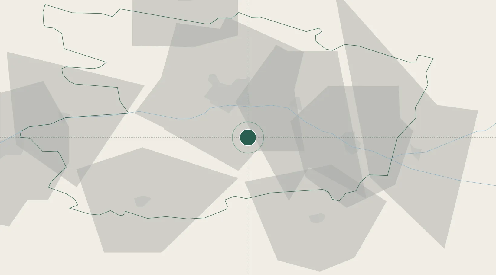
Location
Nearby Logistics Neighbours
Cities
- 1Vauchrétien4 km
- 2Bellevigne-en-Layon5 km
- 3Soulaines-sur-Aubance8 km
- 4Mozé-sur-Louet8 km
- 5Beaulieu-sur-Layon9 km
Ports
- 1Nantes84 km
- 2Donges121 km
- 3Montoir126 km
- 4St Nazaire131 km
- 5Les Sables D' Olonne135 km
Airports
- 1Angers Marcé airport31 km
- 2Laval-Entrammes Airport84 km
- 3Le Mans-Arnage Airport88 km
- 4Nantes Atlantique Airport88 km
- 5Tours Val de Loire Airport91 km
Trade Zones
- 1ZFU Angers23 km
- 2ZFU Le Mans88 km
- 3ZFU Nantes et Saint-Herblain94 km
- 4ZFU Alençon132 km
- 5ZFU Blois134 km
DatabookThe Record of Consolidated Knowledge
France beyond logistics?