UN/LOCODE hub · France
FRSS6
Soulaines-sur-Aubance
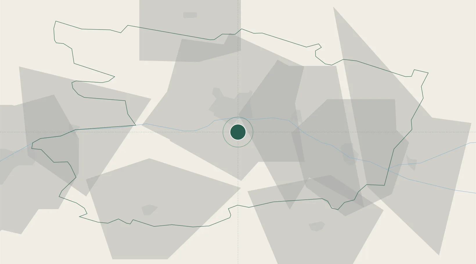
47.3667°, -0.5167°
1,249
Population
1
Transport functions
Transport Functions
Multimodal
Hub Profile
Place type
Populated place
Region
Pays de la Loire
Population
1,249
Time zone
Europe/Paris
Elevation
52 m
Location
Nearby Logistics Neighbours
Cities
- 1Mozé-sur-Louet3 km
- 2Mûrs-Erigné5 km
- 3Juigné-sur-Loire5 km
- 4Vauchrétien5 km
- 5Saint-Jean-des-Mauvrets6 km
Ports
- 1Nantes81 km
- 2Donges117 km
- 3Montoir122 km
- 4St Nazaire127 km
- 5Les Sables D' Olonne137 km
Airports
- 1Angers Marcé airport27 km
- 2Laval-Entrammes Airport76 km
- 3Le Mans-Arnage Airport84 km
- 4Nantes Atlantique Airport86 km
- 5Tours Val de Loire Airport94 km
Trade Zones
- 1ZFU Angers14 km
- 2ZFU Le Mans84 km
- 3ZFU Nantes et Saint-Herblain91 km
- 4ZFU Alençon126 km
- 5ZFU Saint-Nazaire133 km
DatabookThe Record of Consolidated Knowledge
France beyond logistics?