UN/LOCODE hub · France
FRGIU
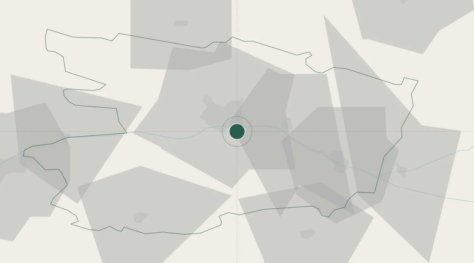
Juigné-sur-Loire
47.4000°, -0.4833°
2,412
Population
1
Transport functions
Transport Functions
Multimodal
Hub Profile
Place type
Populated place
Region
Pays de la Loire
Population
2,412
Time zone
Europe/Paris
Elevation
24 m
Location
Nearby Logistics Neighbours
Cities
- 1Saint-Jean-des-Mauvrets3 km
- 2Soulaines-sur-Aubance5 km
- 3Mûrs-Erigné5 km
- 4Sainte-Gemmes-sur-Loire7 km
- 5Vauchrétien7 km
Ports
- 1Nantes85 km
- 2Donges120 km
- 3Montoir125 km
- 4St Nazaire130 km
- 5Les Sables D' Olonne141 km
Airports
- 1Angers Marcé airport22 km
- 2Laval-Entrammes Airport73 km
- 3Le Mans-Arnage Airport80 km
- 4Nantes Atlantique Airport89 km
- 5Tours Val de Loire Airport91 km
Trade Zones
- 1ZFU Angers13 km
- 2ZFU Le Mans79 km
- 3ZFU Nantes et Saint-Herblain94 km
- 4ZFU Alençon122 km
- 5ZFU Blois133 km
DatabookThe Record of Consolidated Knowledge
France beyond logistics?