Transport Functions
Multimodal
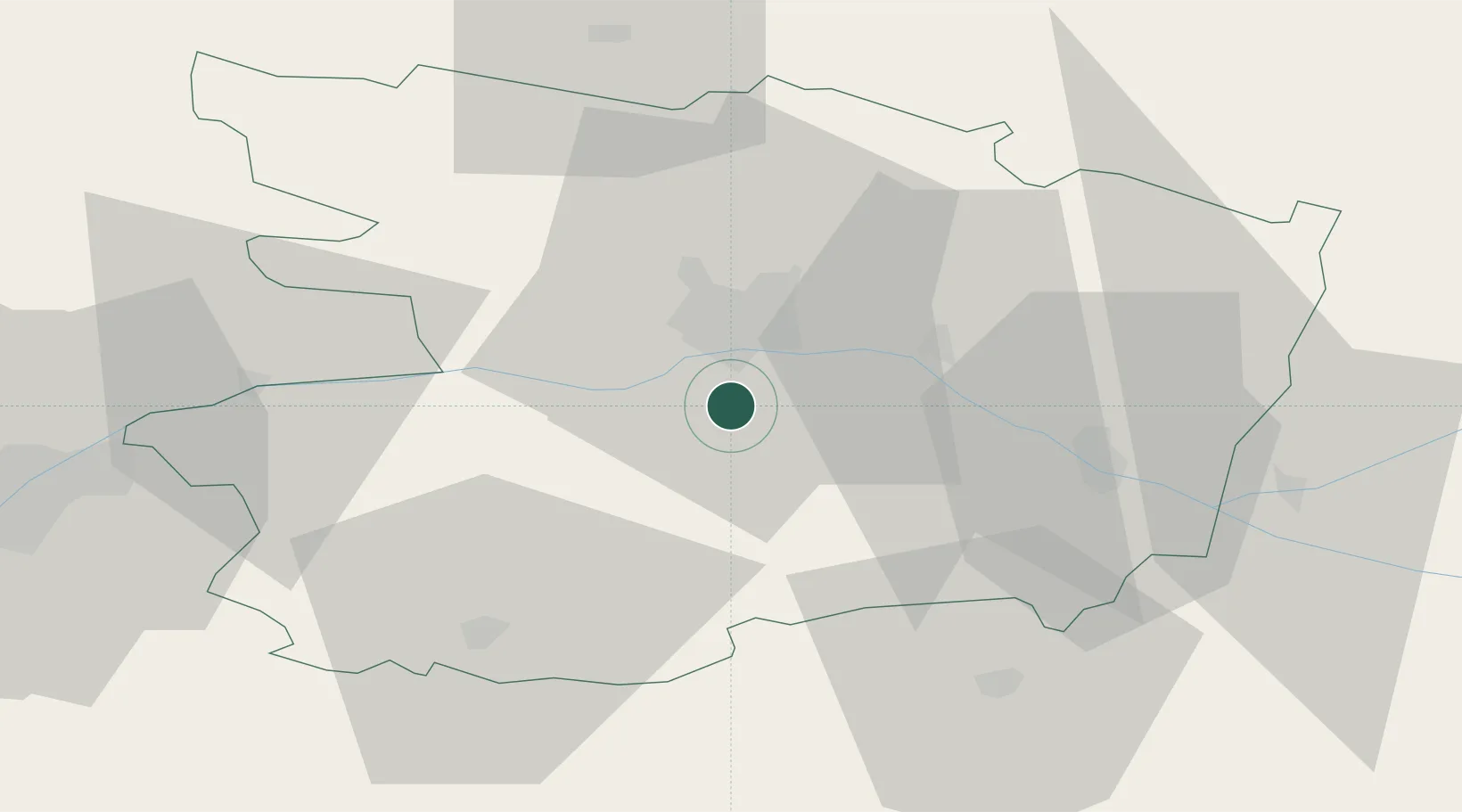
Hub Profile
Place type
Populated place
Region
Pays de la Loire
Population
2,110
Time zone
Europe/Paris
Elevation
69 m
Location
Nearby Logistics Neighbours
Cities
- 1Soulaines-sur-Aubance3 km
- 2Beaulieu-sur-Layon5 km
- 3Denée5 km
- 4Vauchrétien5 km
- 5Mûrs-Erigné6 km
Ports
- 1Nantes79 km
- 2Donges114 km
- 3Montoir120 km
- 4St Nazaire125 km
- 5Les Sables D' Olonne134 km
Airports
Trade Zones
- 1ZFU Angers15 km
- 2ZFU Le Mans87 km
- 3ZFU Nantes et Saint-Herblain88 km
- 4ZFU Alençon129 km
- 5ZFU Saint-Nazaire130 km
DatabookThe Record of Consolidated Knowledge
France beyond logistics?