Transport Functions
Multimodal
Hub Profile
Place type
Populated place
Region
Centre-Val de Loire
Population
625
Time zone
Europe/Paris
Elevation
210 m
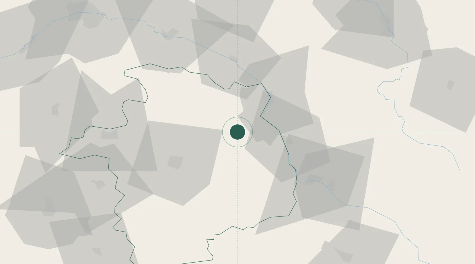
Location
Nearby Logistics Neighbours
Cities
- 1Montigny5 km
- 2Reigny6 km
- 3Crézancy-en-Sancerre6 km
- 4Bué7 km
- 5Neuilly-en-Sancerre8 km
Ports
- 1Port Of Rouen274 km
- 2Honfleur305 km
- 3Deauville307 km
- 4Port De Caen315 km
- 5Tonnay Charente315 km
Airports
- 1Avord (BA 702) Air Base24 km
- 2Bourges airport36 km
- 3Nevers-Fourchambault Airport39 km
- 4Auxerre Branches airport87 km
- 5Châteauroux Déols airport89 km
Trade Zones
- 1ZFU Bourges37 km
- 2ZFU Orléans97 km
- 3ZFU Sens112 km
- 4ZFU Blois117 km
- 5ZFU Montereau-Fault-Yonne127 km
DatabookThe Record of Consolidated Knowledge
France beyond logistics?