Transport Functions
Multimodal
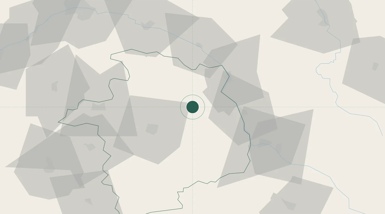
Hub Profile
Place type
Populated place
Region
Centre-Val de Loire
Population
377
Time zone
Europe/Paris
Elevation
270 m
Location
Nearby Logistics Neighbours
Cities
- 1Veaugues5 km
- 2Morogues6 km
- 3Neuilly-en-Sancerre7 km
- 4Aubinges8 km
- 5Reigny9 km
Ports
- 1Port Of Rouen274 km
- 2Honfleur304 km
- 3Deauville305 km
- 4Tonnay Charente310 km
- 5Port De Caen312 km
Airports
- 1Avord (BA 702) Air Base20 km
- 2Bourges airport31 km
- 3Nevers-Fourchambault Airport41 km
- 4Châteauroux Déols airport83 km
- 5Auxerre Branches airport92 km
Trade Zones
- 1ZFU Bourges32 km
- 2ZFU Orléans95 km
- 3ZFU Blois113 km
- 4ZFU Sens116 km
- 5ZFU Montereau-Fault-Yonne130 km
DatabookThe Record of Consolidated Knowledge
France beyond logistics?