Transport Functions
Rail
Road
Hub Profile
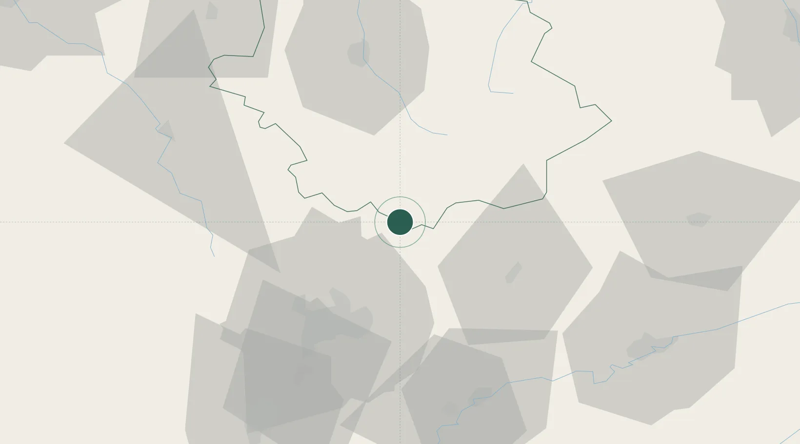
Place type
Populated place
Region
Grand Est
Population
143
Time zone
Europe/Paris
Elevation
286 m
Location
Nearby Logistics Neighbours
Cities
- 1Villegusien-le-Lac13 km
- 2Lux16 km
- 3Is-sur-Tille17 km
- 4Blagny-sur-Vingeanne22 km
- 5Chalindrey24 km
Ports
- 1Bruxelles368 km
- 2Port Of Rouen370 km
- 3Saint-Valery-Sur-Somme391 km
- 4Le Treport395 km
- 5Ghent399 km
Airports
Trade Zones
- 1ZFU Chenôve42 km
- 2ZFU Besancon70 km
- 3ZFU Montbéliard115 km
- 4ZFU Belfort115 km
- 5ZFU Saint-Dizier117 km
DatabookThe Record of Consolidated Knowledge
France beyond logistics?