Transport Functions
Road
Multimodal
Hub Profile
Place type
Populated place
Region
Bourgogne
Population
4,082
Time zone
Europe/Paris
Elevation
278 m
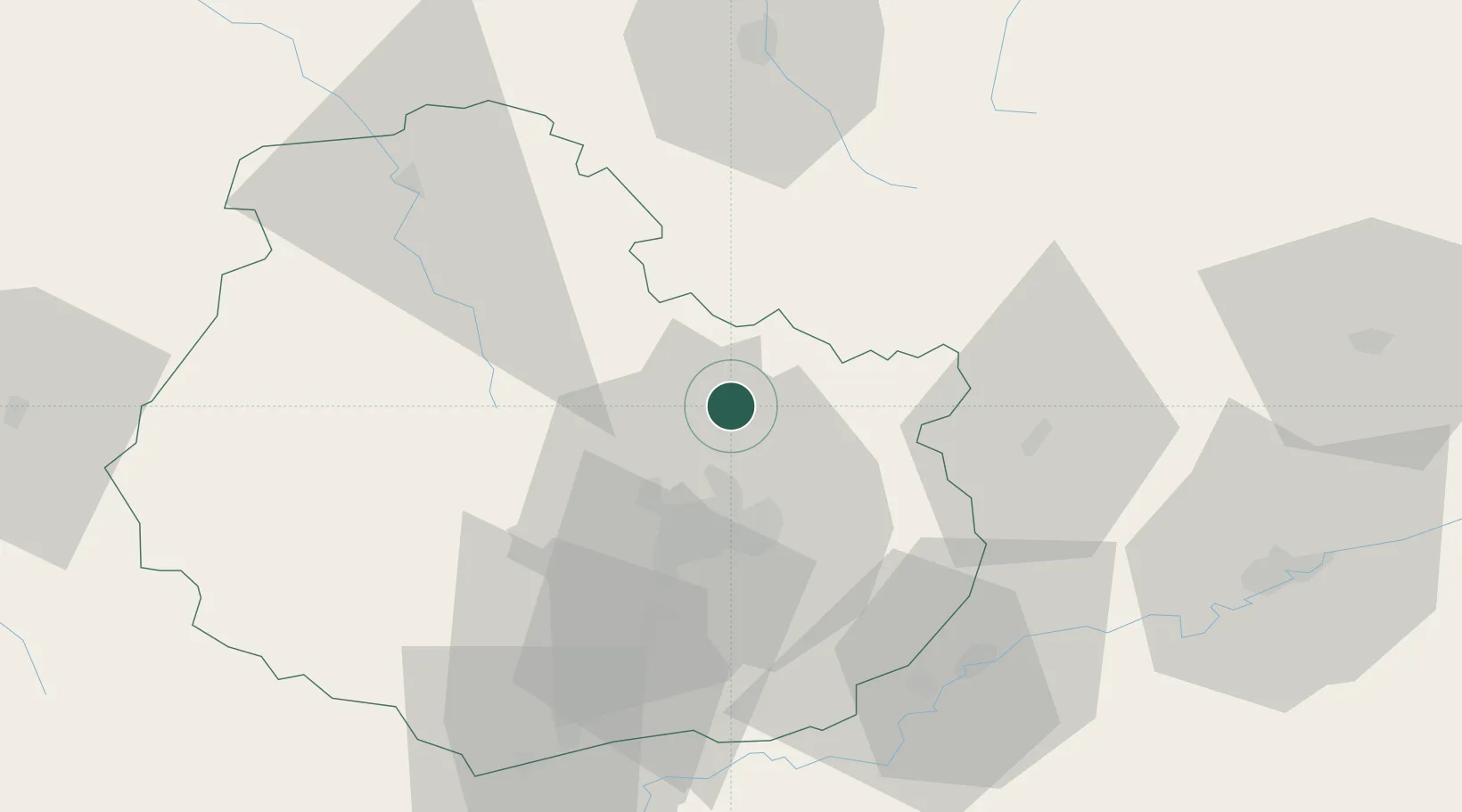
Location
Nearby Logistics Neighbours
Cities
- 1Lux8 km
- 2Bretigny13 km
- 3Brognon14 km
- 4Ruffey-lès-Echirey17 km
- 5Occey17 km
Ports
- 1Port Of Rouen367 km
- 2Bruxelles377 km
- 3Saint-Valery-Sur-Somme391 km
- 4Le Treport394 km
- 5Dieppe399 km
Airports
Trade Zones
- 1ZFU Chenôve27 km
- 2ZFU Besancon75 km
- 3ZFU La Chapelle Saint-Luc, Les Noës-près-Troyes, Troyes, Sainte-Savine118 km
- 4ZFU Saint-Dizier125 km
- 5ZFU Montbéliard127 km
DatabookThe Record of Consolidated Knowledge
France beyond logistics?