Transport Functions
Multimodal
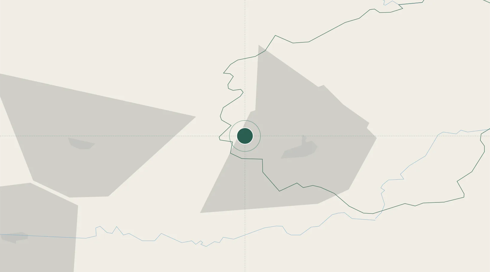
Hub Profile
Place type
Populated place
Region
Nouvelle-Aquitaine
Population
410
Time zone
Europe/Paris
Elevation
270 m
Location
Nearby Logistics Neighbours
Cities
- 1Grèzes13 km
- 2Donzenac16 km
- 3Brive-la-Gaillarde17 km
- 4Cosnac22 km
- 5Vigeois23 km
Airports
- 1Brive Souillac airport23 km
- 2Périgueux-Bassillac Airport41 km
- 3Limoges Airport73 km
- 4Bergerac Dordogne-Périgord airport77 km
- 5Aurillac airport93 km
Trade Zones
- 1ZFU Clermont-Ferrand150 km
- 2Port de Bordeaux151 km
- 3ZFU Hauts de Garonne156 km
- 4ZFU Toulouse180 km
- 5ZFU Bourges221 km
DatabookThe Record of Consolidated Knowledge
France beyond logistics?