Transport Functions
Multimodal
Hub Profile
Place type
Populated place
Region
Hauts-de-France
Population
1,184
Time zone
Europe/Paris
Elevation
99 m
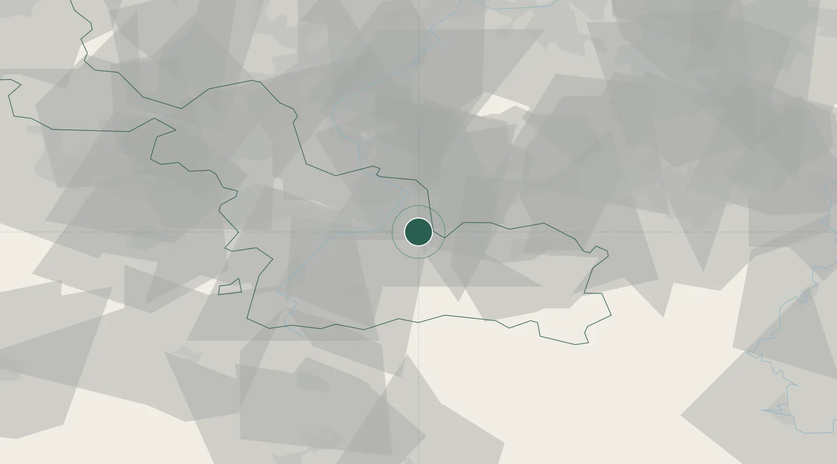
Location
Nearby Logistics Neighbours
Cities
- 1Aulnoy6 km
- 2Marly6 km
- 3Gommegnies8 km
- 4Valenciennes8 km
- 5Quiévrechain10 km
Ports
- 1Bruxelles80 km
- 2Ghent84 km
- 3Bruges106 km
- 4Nieuwpoort109 km
- 5Oostende113 km
Airports
DatabookThe Record of Consolidated Knowledge
France beyond logistics?