Transport Functions
Road
Multimodal
Hub Profile
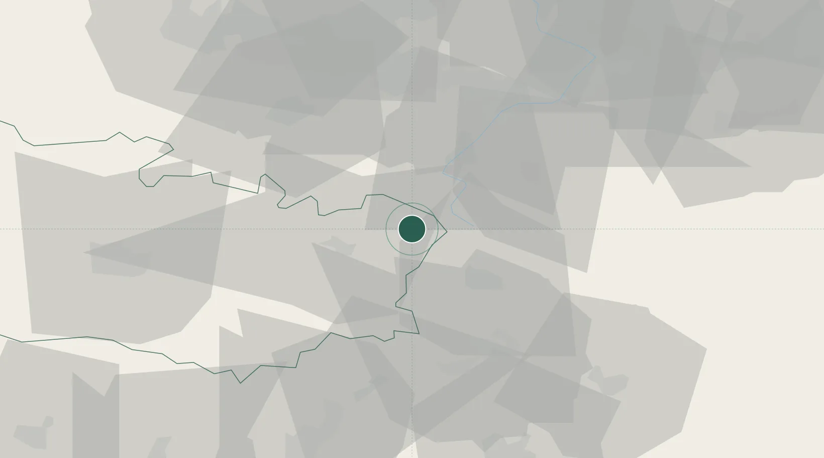
Place type
Populated place
Region
Hauts-de-France
Population
642
Time zone
Europe/Paris
Elevation
103 m
Location
Nearby Logistics Neighbours
Cities
- 1Roisel4 km
- 2Templeux-la-Fosse6 km
- 3Gouzeaucourt8 km
- 4Moislains10 km
- 5Bantouzelle12 km
Ports
- 1Saint-Valery-Sur-Somme108 km
- 2Le Treport124 km
- 3Ghent129 km
- 4Nieuwpoort130 km
- 5Dunkerque Port Est132 km
Airports
- 1Péronne Saint-Quentin Airfield14 km
- 2Valenciennes-Denain Airfield46 km
- 3Amiens Glisy Airfield53 km
- 4Lille Airport65 km
- 5Merville-Calonne Airport78 km
Trade Zones
DatabookThe Record of Consolidated Knowledge
France beyond logistics?