Transport Functions
Multimodal
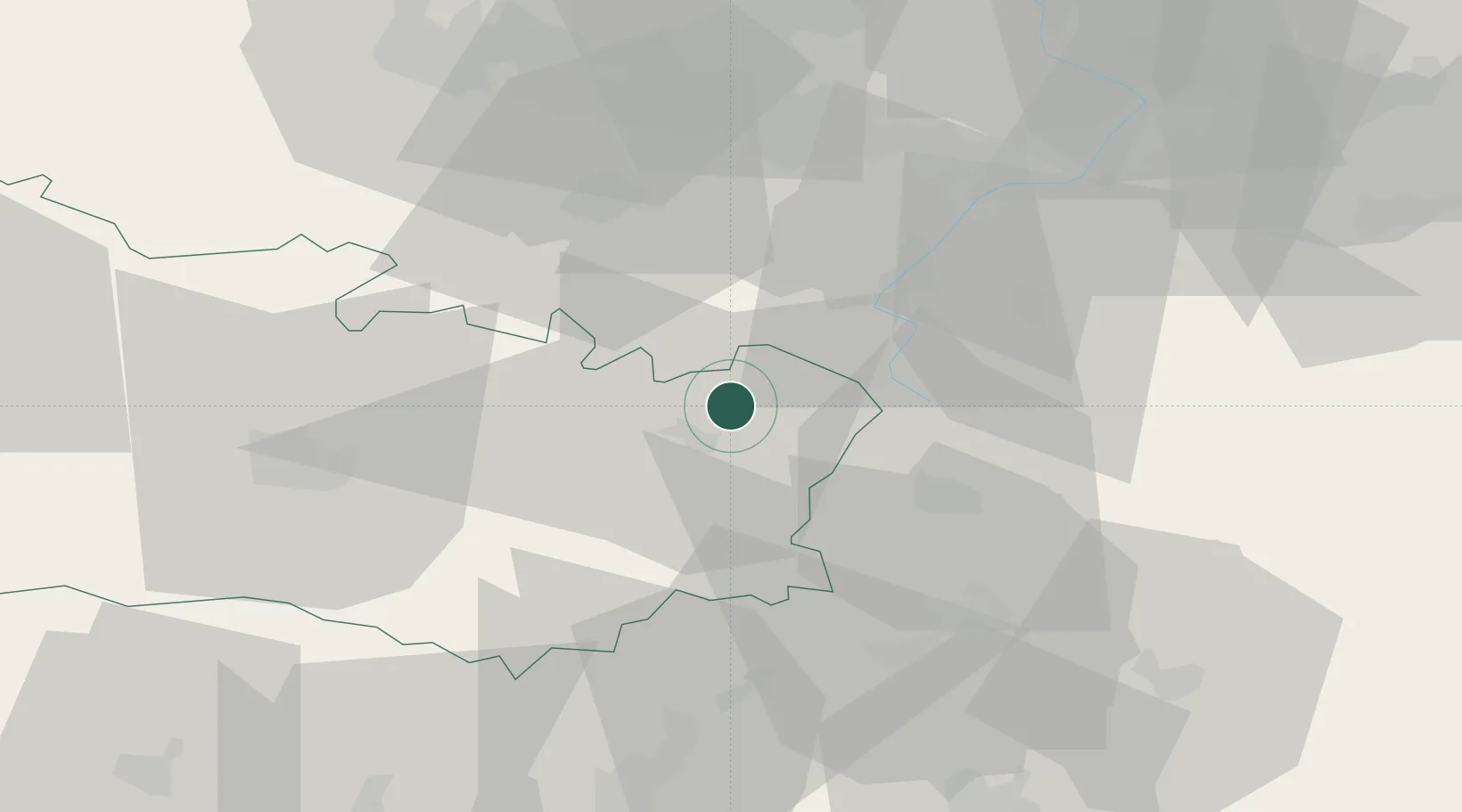
Hub Profile
Place type
Populated place
Region
Hauts-de-France
Population
1,442
Time zone
Europe/Paris
Elevation
70 m
Location
Nearby Logistics Neighbours
Cities
- 1Rancourt4 km
- 2Templeux-la-Fosse4 km
- 3Sailly-Saillisel7 km
- 4Biaches8 km
- 5Villers-Faucon10 km
Ports
- 1Saint-Valery-Sur-Somme99 km
- 2Le Treport115 km
- 3Boulogne-Sur-Mer128 km
- 4Gravelines128 km
- 5Dunkerque Port Est128 km
Airports
- 1Péronne Saint-Quentin Airfield14 km
- 2Amiens Glisy Airfield43 km
- 3Valenciennes-Denain Airfield52 km
- 4Lille Airport66 km
- 5Merville-Calonne Airport74 km
DatabookThe Record of Consolidated Knowledge
France beyond logistics?